Client
HERE Technologies
Year
2026
Services
Integrate
Collect
Map
HERE Technologies’ Use of Mobile Mapping Technology
Customer
HERE Technologies is a leading digital mapping and location services company.
Customers of HERE include nearly every global automaker, leaders in e-commerce, transportation and logistics and enterprises worldwide. HERE is the global market leader for automotive-grade maps designed to power navigation, advanced driving assistance, EV and automated driving systems.
HERE captures and maintains a highly precise, digital representation of the world’s road network at scale with the latest AI applications and combining multiple data sources, including vehicle sensor data, satellite and aerial imagery, probe data and street-level data collection.
To maintain the accuracy, freshness and coverage of its global map, HERE continuously evolves the technologies used across its data collection ecosystem.
Mobile mapping systems play a role within this broader approach, enabling the capture of detailed street-level imagery and sensor data in environments where other data sources alone may not provide sufficient coverage or fidelity.
Challenge
HERE required a mobile mapping system that could:
01
Incorporate modern sensor, computing and power-management technologies
02
Support real-time and edge-based data processing
03
Deliver reliability and durability for global fleet operations
04
Complement other data sources within HERE’s multi-source mapping ecosystem
05
Integrate smoothly with HERE’s existing tools, workflows, and proprietary data formats
Solution
Based on its technical and operational requirements, HERE selected Horus View and Explore B.V. as a mobile mapping technology supplier to support its street level data collection activities.
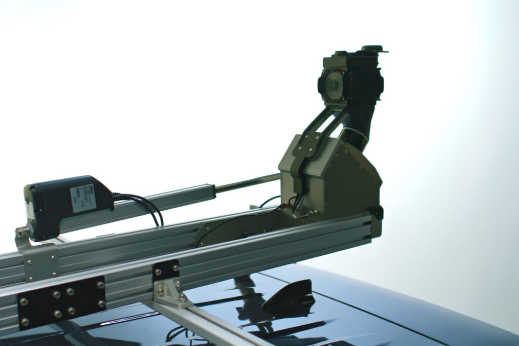
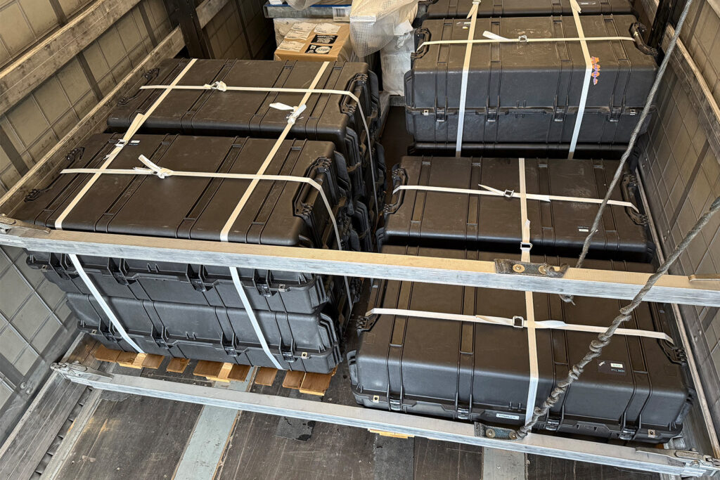
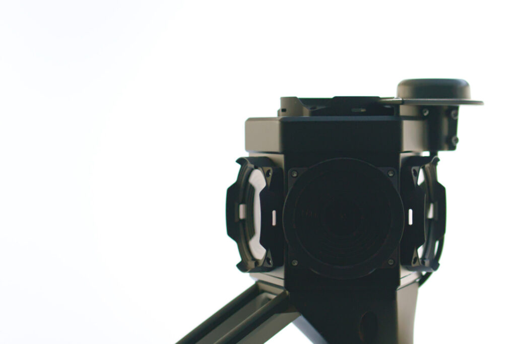
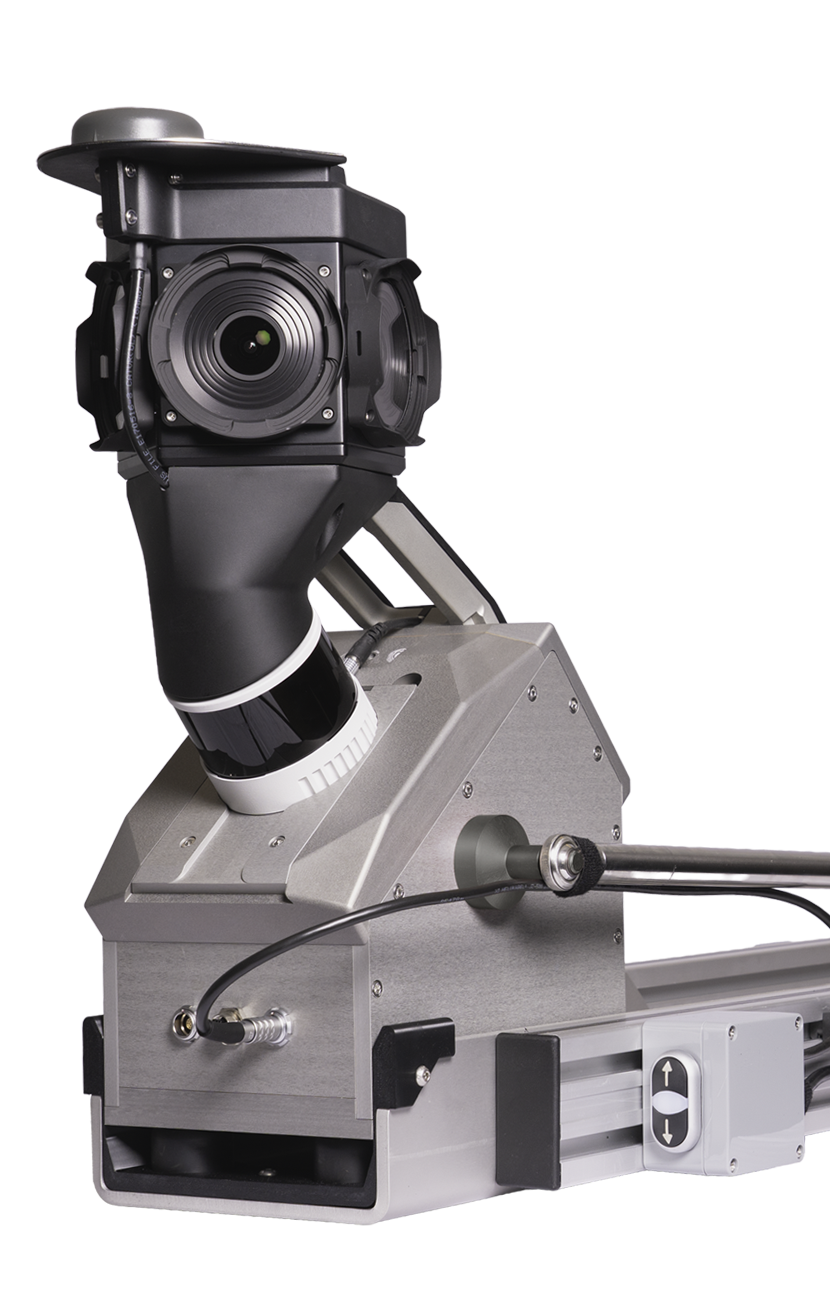
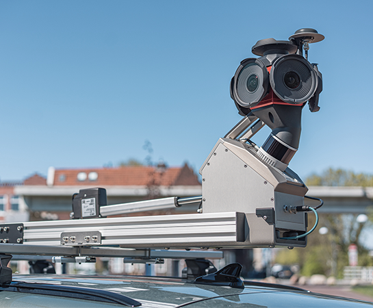
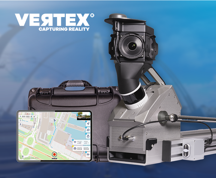
Horus provided a fifth-generation mobile mapping system deployed within HERE’s global fleet as HERE True 5 (HT5). The system combines a modular hardware architecture with an integrated software stack designed to support continuous data collection at scale as part of HERE’s broader mapping strategy.
Key system capabilities include:
Real-time, on-board data processing
while driving
Edge mapping
to prepare data directly in HERE’s proprietary formats
Low energy consumption
to support extended operations
Compact, modular design
to simplify deployment and maintenance
Enterprise-grade durability
suitable for worldwide field use
Implementation
Working from HERE’s specifications, Horus supplied a system configuration incorporating selected cameras, lidar, GNSS and computing modules optimized for:
To maintain the accuracy, freshness and coverage of its global map, HERE continuously evolves the technologies used across its data collection ecosystem.
- Performance and reliability in global operations
- Long-term component availability
- Compatibility across multiple vehicle types
- Intelligent power management and energy efficiency
Mobile mapping systems play a role within this broader approach, enabling the capture of detailed street-level imagery and sensor data in environments where other data sources alone may not provide sufficient coverage or fidelity.
With Horus technology supporting its mobile mapping operations, HERE has achieved:
Our projects
More projects
We work with both small startups and large corporations.
No posts found.
No posts found.