Infrastructure

Infrastructure networks are vast, complex and constantly under pressure. Mobile mapping gives asset owners, contractors and engineers accurate, repeatable data without expensive manual surveys. Your teams spend less time in the field and more time acting on what they find.


Inspect more. Revisit less.

Electricity Infrastructure

Document overhead lines, substations, pylons and supporting assets across large service areas efficiently and safely. Vertex captures the geometry and condition data your grid operators need for maintenance planning, capacity assessment and regulatory reporting, without the logistical burden of access scaffolding or lane closures.

Fiber Network Rollout

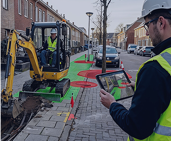
Support planning, execution and as-built verification across your fiber deployment programme. Mobile mapping provides the street-level documentation needed for route risk assessment, permit applications and quality control during rollout, keeping projects on schedule and reducing rework.

Waterfront Infrastructure Inspection

Capture quay walls, jetties, mooring infrastructure and waterfront assets with precision. Horus systems document structural condition and geometry along water-adjacent environments, giving port authorities and infrastructure managers a reliable basis for maintenance prioritisation and long-term asset planning.

Fiber Rollout at scale, from planning to as-built

Deutsche Glasfaser deployed Horus mobile mapping across their fiber rollout programme in Germany.

“What we enjoyed the most is that now we do not have to calibrate the system for every run. It saved us so much time, and that is the biggest profit we got. We had to calibrate before every recording, find a place with good satellite reception, then drive back to the survey area. Now we only calibrate once a day. The system stability is extremely better now. Previously, the system could shut down during collection, forcing drivers to re-run areas they had already covered. “
 

Sven Kuehte

Team Lead Mobile Mapping | Deutsche Glasfaser

Deutsche_Glasfaser_logo white
“No recalibration per run. More time in the field.”
Topocart_logo_white
“A strategic partner that listens and delivers.”
 “From 18-day surveys to a 3-day site overview.”

Horus products for road asset management

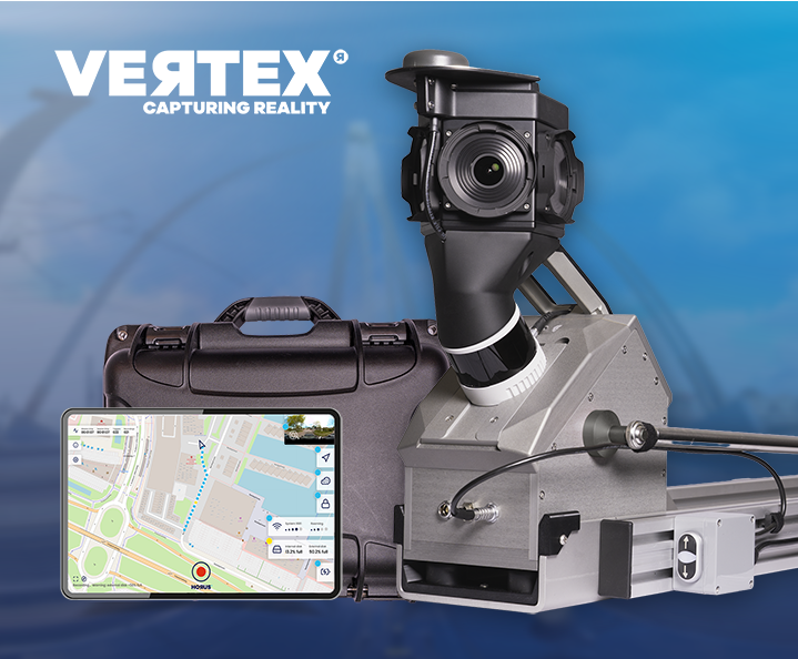
Vertex Mobile Mapping System

Switch between list and board. Group issues with ease

Horison Framework

Future proof drag-and-drop pipeline builder for imagery solutions and (AI) mapping on the edge

Horus Movie Player

See your mapping data, exactly as captured

Horus Movie Player thumbnail

Ready to turn road data into better decisions?

Plan your next inspection cycle with accurate, georeferenced data from Horus mobile mapping technology.

  • Solutions
  • Products
  • Knowledgebase
  • Company
  • Contact