Defense & public safety

Modern ground operations depend on continuous, reliable situational awareness. Whether you’re managing a high-risk arrest, investigating a traffic incident or deploying a robot into an unknown environment, teams need to see clearly. Horus delivers the integration software that connects any camera, sensor or platform into a unified operational picture, giving teams on the ground and commanders at the back the visibility they need to act with confidence.

Eyes in the field. Intelligence at the command.

All-seeing field integration

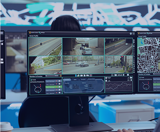
Horison integration software connects diverse camera types and sensors mounted on vehicles, robots or fixed platforms into a single, coherent system. Panoramic and directional imagery can be combined with AI-based detection and additional sensors such as gunshot locators, creating a layered awareness picture that updates in real time.

Continuous recording & playback

Every moment is captured and stored. Operators can review footage in real time or look back to reconstruct events, identify patterns and support forensic investigation. For traffic accident analysis, criminal investigations and post-incident review, this timestamped record is a critical operational asset.

Rapid integration for suppliers & integrators

Horus works directly with system integrators and vehicle outfitters to implement Horison quickly and adapt to evolving operational requirements. When mission needs change, the software framework makes it possible to respond fast, without rebuilding from scratch.

Telerob Gesellschaft für Fernhantierungstechnik mbH

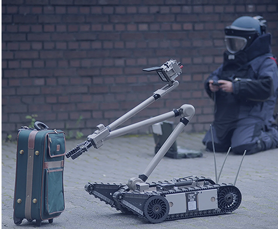
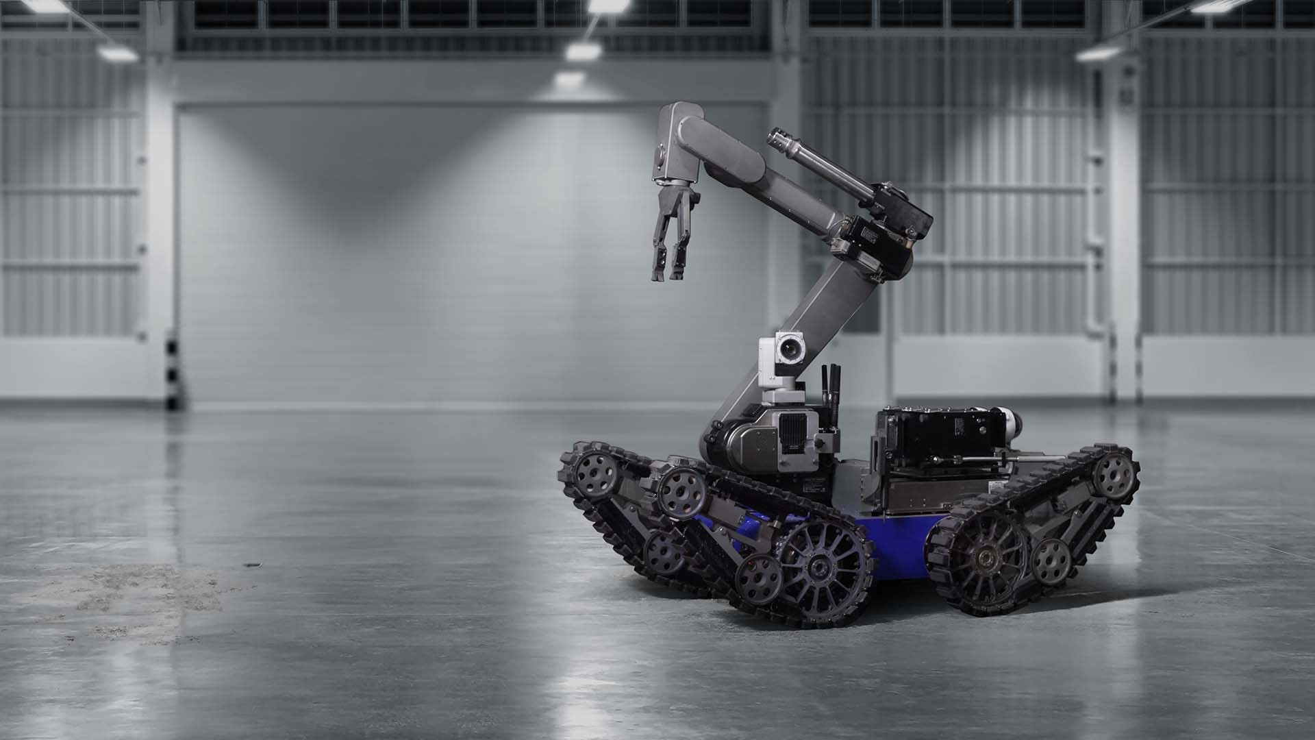
Horus delivered 360° camera stitching and streaming technology for the camera module on Telerob’s UGV, giving robot operators eyes in the field from a safe distance. The system is deployed for high-risk operations including EOD (explosive ordnance disposal), where operators need reliable, real-time visual feedback without physical exposure.

Defense camera technology partner
Deutsche_Glasfaser_logo white
“No recalibration per run. More time in the field.”
Topocart_logo_white
“A strategic partner that listens and delivers.”
 “From 18-day surveys to a 3-day site overview.”

Horus products for defense & public safety

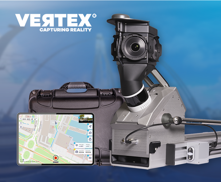
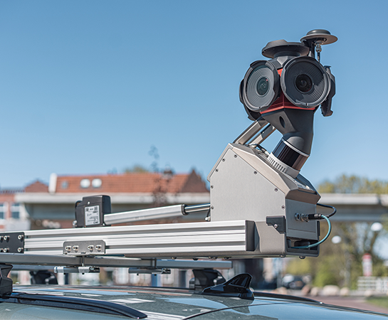
Vertex Mobile Mapping System

Switch between list and board. Group issues with ease

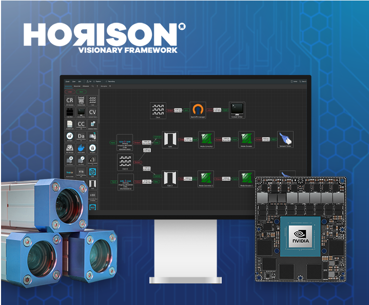
Horison Framework

Future proof drag-and-drop pipeline builder for imagery solutions and (AI) mapping on the edge

Horus Movie Player

See your mapping data, exactly as captured

Horus Movie Player thumbnail

Ready to turn road data into better decisions?

Plan your next inspection cycle with accurate, georeferenced data from Horus mobile mapping technology.

  • Solutions
  • Products
  • Knowledgebase
  • Company
  • Contact