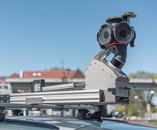
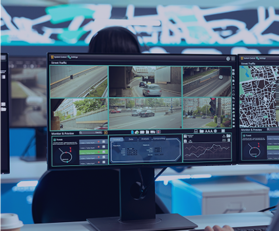
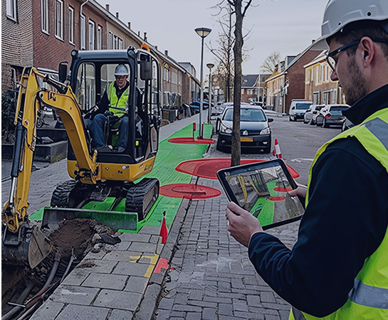
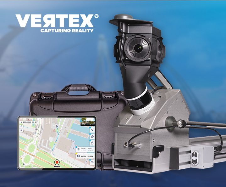
Two configurations are standard, pre-integrated and proven in the field. Both are supplied as one kit, mounted without modifying your base system.

Thermal Extension: inspect what stays invisible
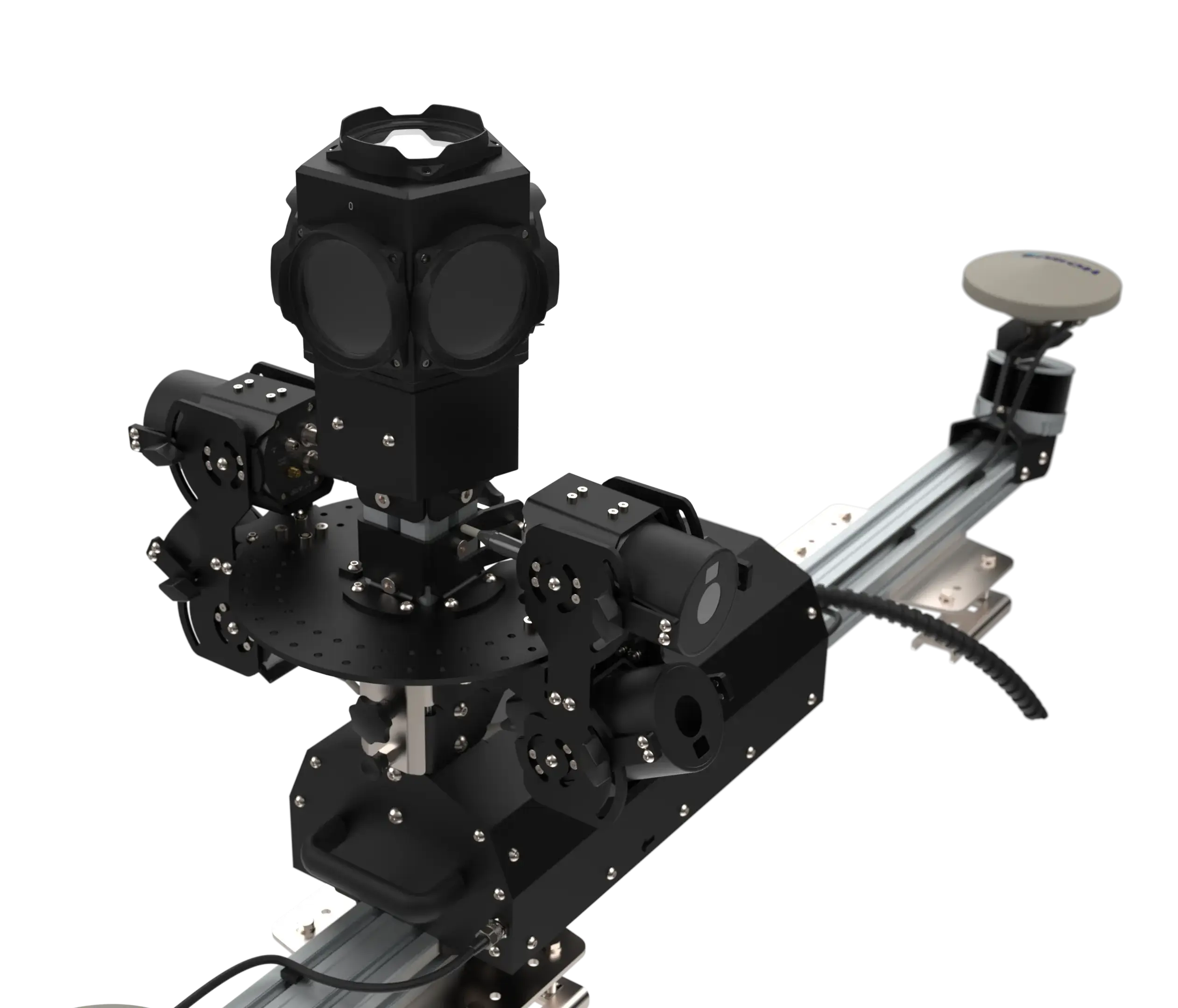
Heat loss, moisture and assets about to fail leave no visible trace. The Horus Thermal Extension captures infrared imagery in the same drive as your regular survey, georeferenced to your system’s own trajectory, so inspection and mapping become one run instead of two.
Georeferenced and repeatable
One drive, two datasets
Fits your existing system
Applications
Where thermal pays off
Infrared turns a survey run into an inspection round. Across five applications the pattern is the same: the problem is already there, it has a thermal signature, and nobody can see it from the road. The drive you already make becomes the moment you find it.

Power network inspection
Overheating connections, cabinets and pole-mounted equipment stand out in infrared long before they fail. A route that is driven anyway becomes a condition screening of the whole network, with every anomaly recorded at its own location. Instead of climbing poles on a schedule, crews are sent to the ones that need attention.

Building insulation and heat loss
Screen thousands of façades per day and rank them by heat loss, instead of inspecting building by building by appointment. Housing corporations and municipalities see which streets to start with and where insulation budget pays off first. A second survey after the works shows what the investment actually delivered.

Tunnel inspection
Water ingress causes most tunnel deterioration and stays invisible until concrete starts to come loose. A wide-angle camera array covers the full cross-section from floor to crown in a single pass, so a tunnel is inspected at driving speed instead of closed for a manual walkthrough. Every survey adds to a record you can compare year on year.

District heating networks
Leaks in buried pipes warm the ground above them. A drive along the route shows where heat escapes, so crews dig in the right place instead of searching a network kilometre by kilometre. Surveys can be repeated each season, with the same vehicle and the same crew.

Heat stress in cities
Surface temperatures across streets, squares and building fronts show where a neighbourhood holds heat. Measured at street level, where people actually experience it, rather than estimated from above. Useful input for climate adaptation programmes that have to justify where the shade and the greenery go first.
Talk to our team about your use case
From inspection round to predictive maintenance. Every observation is georeferenced and repeatable, so you can compare surveys across seasons and years, and act on a trend instead of an incident.
Your system stays your system

-
Click-and-go mounting
Sealed housings on prepared mounting, fitted or removed without touching the base system.
-
Synchronised to your trajectory
Hardware synchronisation through your system’s own sync interface, so thermal data inherits your positioning.
-
Georeferenced from the start
No separate processing step before the thermal imagery is usable.
-
Readable on screen
Values can be read directly in the image for fast evaluation, interpreted as relative contrast.
-
Self-contained recording
A ruggedised recording unit with swappable storage and its own power management.
-
Built for the field
Housings rated against dust, water and condensation, suitable for tunnels and long survey days.
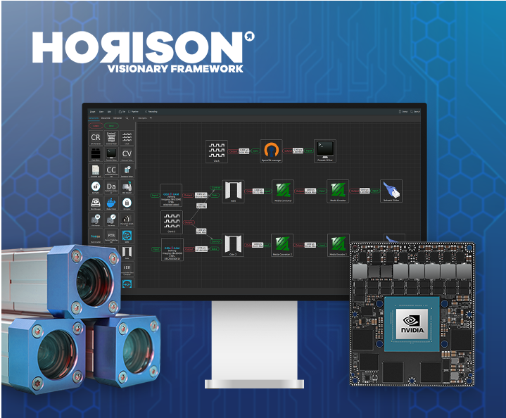
Underneath it all runs Horison, the Horus sensor fusion framework that handles the recording pipelines and keeps the thermal stream aligned with the rest of your data.
Ready for the systems you already run
Thermal Infrared Extension for Trimble MX systems
A complete thermal kit for the MX line, delivered as one package with mounting, recording unit and software. Lens configuration is chosen with you: narrower for detail at distance along roads and façades, wider for full coverage in confined spaces such as tunnels.
Compatible across the MX portfolio. Training and support come from Horus.

Thermal Extension for Leica TRK systems
A thermal camera array for TRK mobile mapping systems, synchronised through the platform’s own sync interface so every frame carries the system’s positioning.
Camera count and angles are calculated from your vehicle and the surfaces you need to cover.


Choosing your camera setup
Both solutions use the same camera platform, so the choice is about lens and camera count, not about which product. A narrow lens gives detail at distance for façades, road furniture and network assets. A wide lens trades detail for coverage and suits confined spaces such as tunnels.
Most projects start with four cameras in a fan arrangement, calculated from your vehicle and the surfaces you need to reach, and the cameras refocus remotely so a setup can be adjusted between projects without opening anything.
Running something else?
The extension framework is not tied to one platform. If you work with another mobile mapping system, an older generation, or a setup you built yourself, the starting point is the same: your positioning and your recording chain, with a thermal layer added to them.
We calculate coverage from your vehicle geometry and the surfaces you need to reach, select camera count and lenses for your use case, and work out the mounting with your engineers. Rail and off-road platforms are included, not an exception.
Tell us what you run and what you need to inspect, and we come back with a configuration proposal.

One case does the recording
All camera streams land in a single ruggedised case that records as a slave to your mapping system. No second operator, no laptop on the passenger seat.


- Horus Movie Player
Look at your thermal data the way you captured it
Thermal imagery is only useful when the right person can open it. Horus Movie Player plays back your survey as it was recorded, with the thermal view next to the optical view and the map, so you always know what you are looking at and where it is.
Scan a route, stop at an anomaly, switch the colour palette until the pattern stands out and read the values on the image. No specialist thermography workstation needed, and no separate file hunt to find the location back.
Thermal extensions, explained
The questions that come up most in conversations with mapping teams, answered without the sales layer. If yours is not here, ask us directly.
Can I add a thermal camera to a mobile mapping system I already own?
Yes. A thermal extension mounts on an existing mobile mapping system and records alongside it. The cameras form a self-contained chain that takes its timing from your system, so the base configuration is not modified. The extension can be removed again when the vehicle is needed for something else.
Which mobile mapping systems does it work with?
Standard configurations exist for Trimble MX and Leica TRK systems. Other platforms, older generations and in-house builds are handled as custom integrations, where camera count, lens choice and mounting are calculated from your vehicle geometry and the surfaces you need to cover. The framework is not tied to one manufacturer.
What can a thermal extension detect?
Anything with a temperature difference against its surroundings. Driving a route reveals water leaks in buried heating pipes, moisture ingress in structures, overheating connections and cabinets in power networks, and heat loss through façades and roofs. Dry cracks and defects without a thermal signature do not show up, so thermal complements your regular imagery rather than replacing it.
Is the thermal imagery georeferenced?
Yes. Every thermal frame is time-stamped against the positioning of your mobile mapping system, so each observation carries its own location and can be found back in the field. Thermal cameras cannot be triggered as tightly as regular cameras, so a small offset grows with driving speed. Surveys are driven at reduced speed to keep that offset within the accuracy the inspection needs.
How accurate are the temperature readings on a moving vehicle?
Values can be read directly in the image, but on a mobile mapping platform they are interpreted as relative contrast rather than absolute temperature. Ambient conditions change along a route and shift the baseline. For finding anomalies and sending a crew to the right location this is what is needed. Where an absolute figure is required, confirm it with a static measurement on site.
Can a thermal survey replace a manual inspection round?
No. A mobile mapping run with a thermal extension screens large areas quickly and shows where to look, with every observation georeferenced and repeatable across seasons and years. Detailed assessment of a specific asset still calls for someone on site. In practice the two work together: screen from the vehicle, verify on location.
Discuss your extension
Tell us what you inspect and what you drive today. We size the configuration around your vehicle, your use case and the system you already own, and come back with a proposal. Where it helps, we join your team online to walk through real thermal datasets.
- No obligation
- Response within one business day
- Direct contact with our team
- Configuration proposal for your own system
Have a different question? Contact us
Deployed in 40+ countries
across professional mobile mapping operations
Built and supported in Europe
by our dedicated engineering team
Georeferenced at vehicle stop
thermal frames come off the drive ready to review, with no separate processing step
Backed by Horison
the Horus sensor fusion framework that keeps every sensor on one timeline