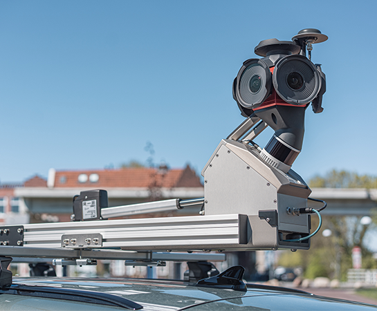
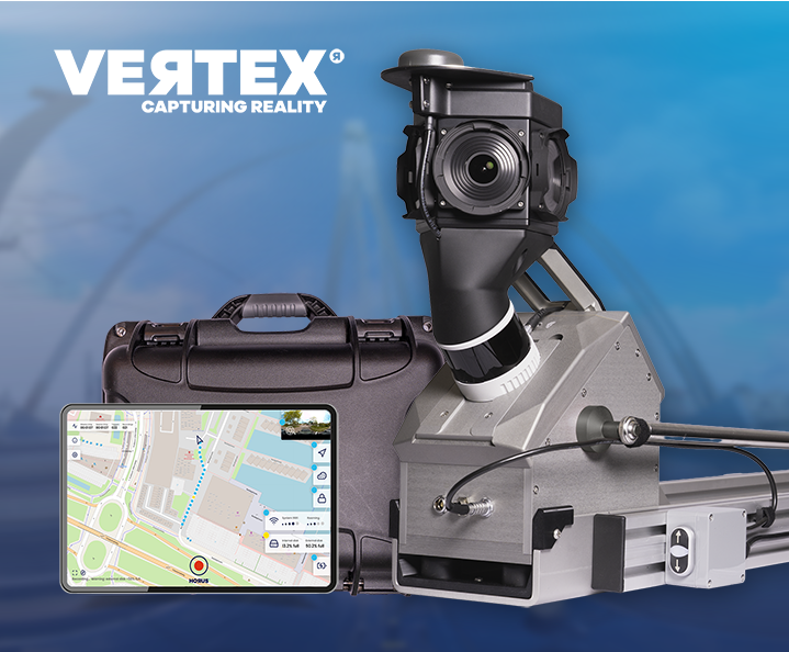
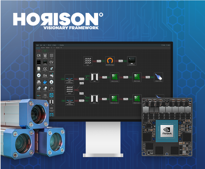
Live at Intergeo Munich, 15–17 Sept: Horison Framework and our newest Vertex Turnkey Mobile Mapping System in action!
 Road Surface Inspection: how to choose the right camera
Roads are the backbone of any transportation network, and keeping them safe and efficient depends on one thing above all: knowing their actual condition. That's where road surface inspection comes in. It's the systematic process of capturing and assessing pavement condition, and it relies heavily on the Pavement Condition Index (PCI) to turn raw observations…