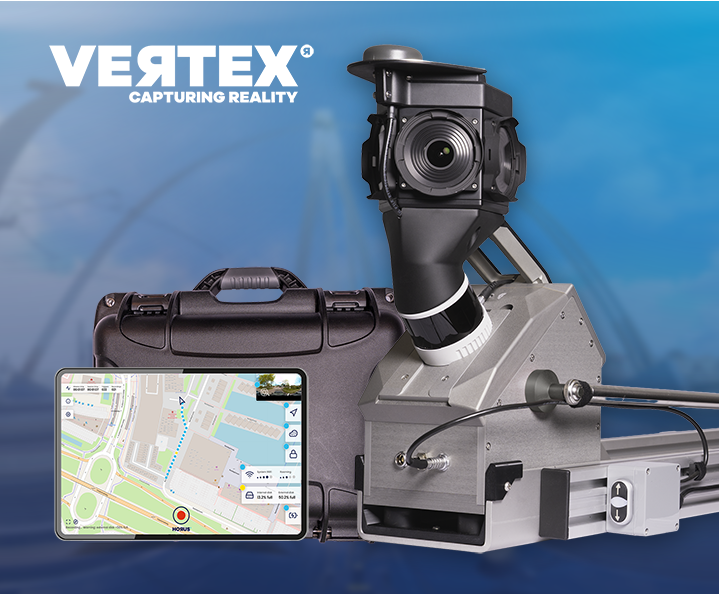
 Live at Intergeo Munich, 15–17 Sept: Horison Framework and our newest Vertex Turnkey Mobile Mapping System in action! Request tickets & schedule meeting →
Road networks change constantly. Inspecting them manually is slow, inconsistent and expensive. Horus mobile mapping systems capture signs, markings, guardrails and surface conditions in a single drive-through — so your data stays current without disrupting traffic.
We manage road networks, not just kilometres. Every sign, marking and surface defect becomes data your team can act on. Let’s keep your roads in shape, together.
Get a complete, georeferenced picture of your road network in a single pass. Vertex captures high-resolution imagery and point cloud data at driving speed, covering pavement condition, road markings, signage and furniture simultaneously. No lane closures, no repeat visits.
Keep your safety-critical assets documented and up to date. Regular mobile mapping cycles give road authorities a reliable record of guardrail conditions, sight lines, hazard markings and street lighting — supporting both compliance and proactive risk management.
Move from reactive maintenance to planned asset management. Structured capture data feeds directly into your asset management systems, giving you the evidence base to prioritise interventions, track deterioration over time and justify maintenance budgets with confidence.
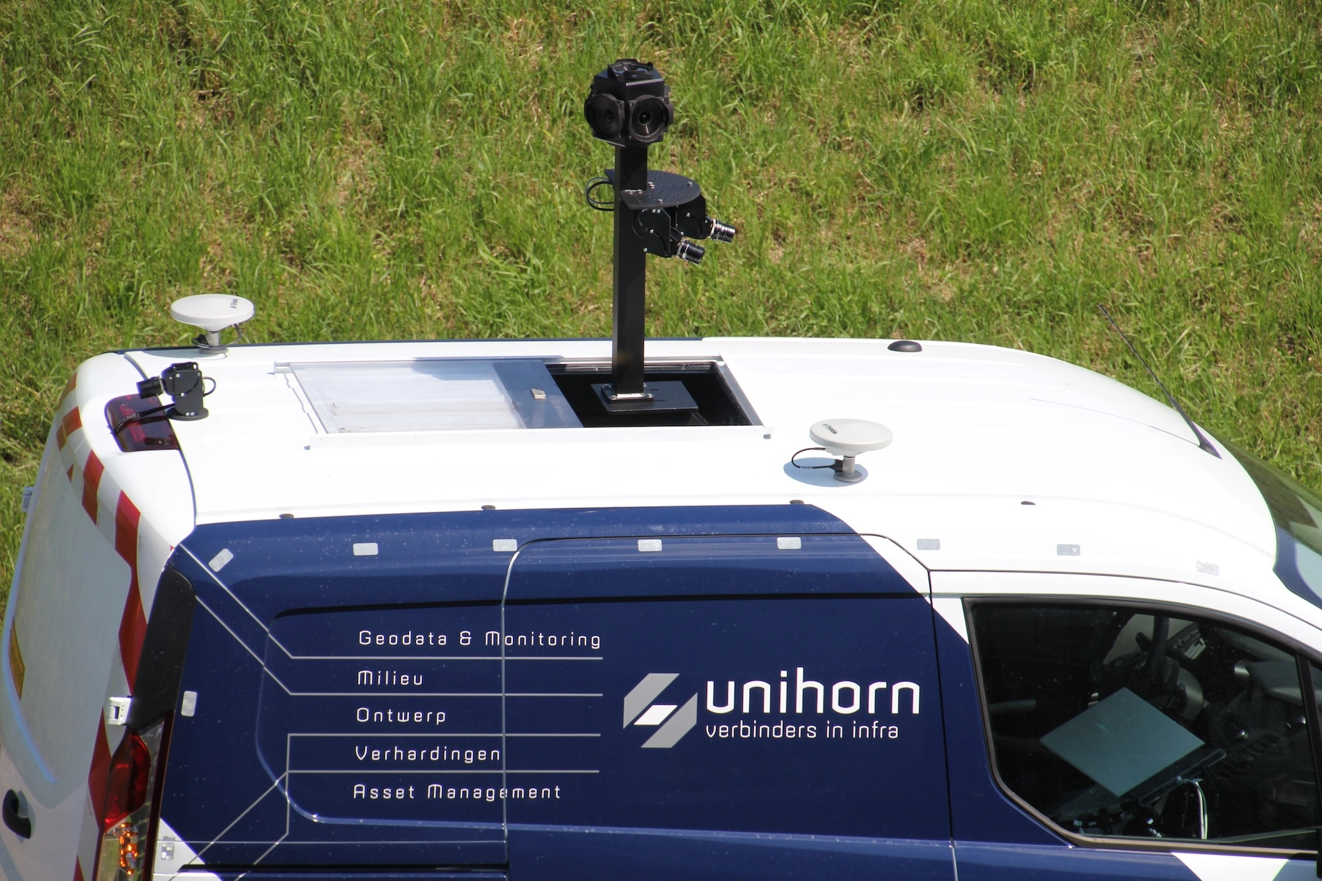
Unihorn uses Horus technology to make road asset management faster, more consistent, and fully scalable. Mobile mapping data is automatically translated into a uniform pavement assessment based on the Dutch CROW 146A standard — reducing manual interpretation and inspector variability. The result: reliable, reproducible condition data that’s ready to inform maintenance decisions.
“Thanks to the digital road inspector we can deliver full reports in a matter of days, where this used to take up to five weeks for a single road.”
Jeroen Bleeker
Manager at Unihorn



See your mapping data, exactly as captured for quality assurance and fast GIS data entry

Plan your next inspection cycle with accurate, georeferenced data from Horus mobile mapping technology.
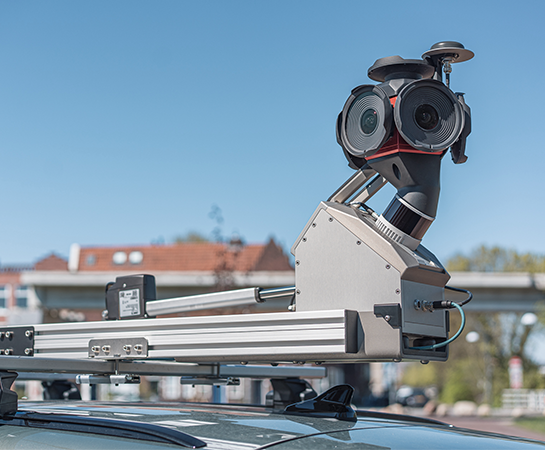
Capture, inspect and manage road assets with mobile mapping.
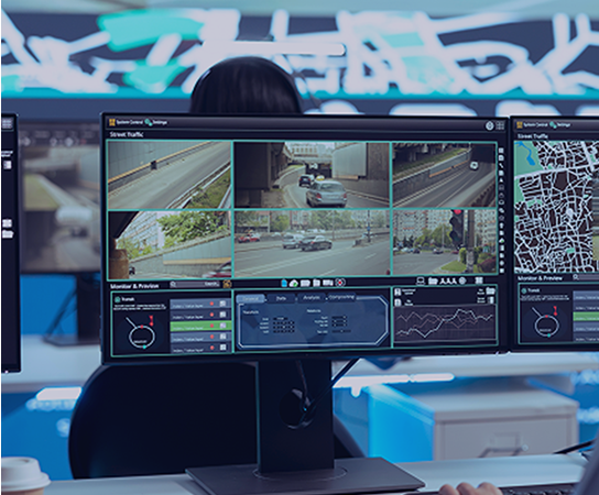
Real-time situational awareness, powered by integrated sensor data.
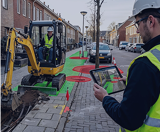
Mobile capture for grid operators, telecom networks and public infrastructure.

High-frequency, AI-ready mapping data for automotive and autonomous driving development.

Spatial awareness solutions for complex and time-critical environments.
Capture complete street-level imagery
Generate precise 3D spatial data
Improve location accuracy at every point
Reveal thermal data and heat patterns
Turn raw imagery into usable data
Connect sensors, systems and workflows
Real-time AI, on your hardware
See your mapping data, exactly as captured for quality assurance and fast GIS data entry
View and share street-level imagery online with speed and consistency