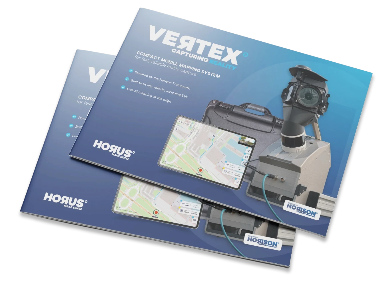
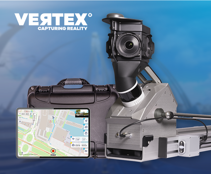
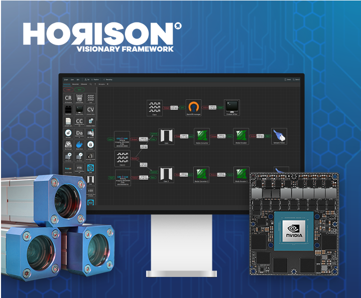
Live at Intergeo Munich, 15–17 Sept: Horison Framework and our newest Vertex Turnkey Mobile Mapping System in action! Request tickets & schedule meeting →
Modular mobile mapping system, delivered turnkey.
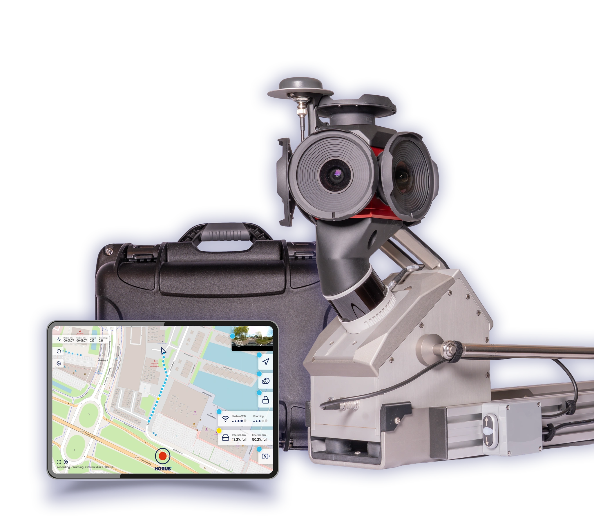
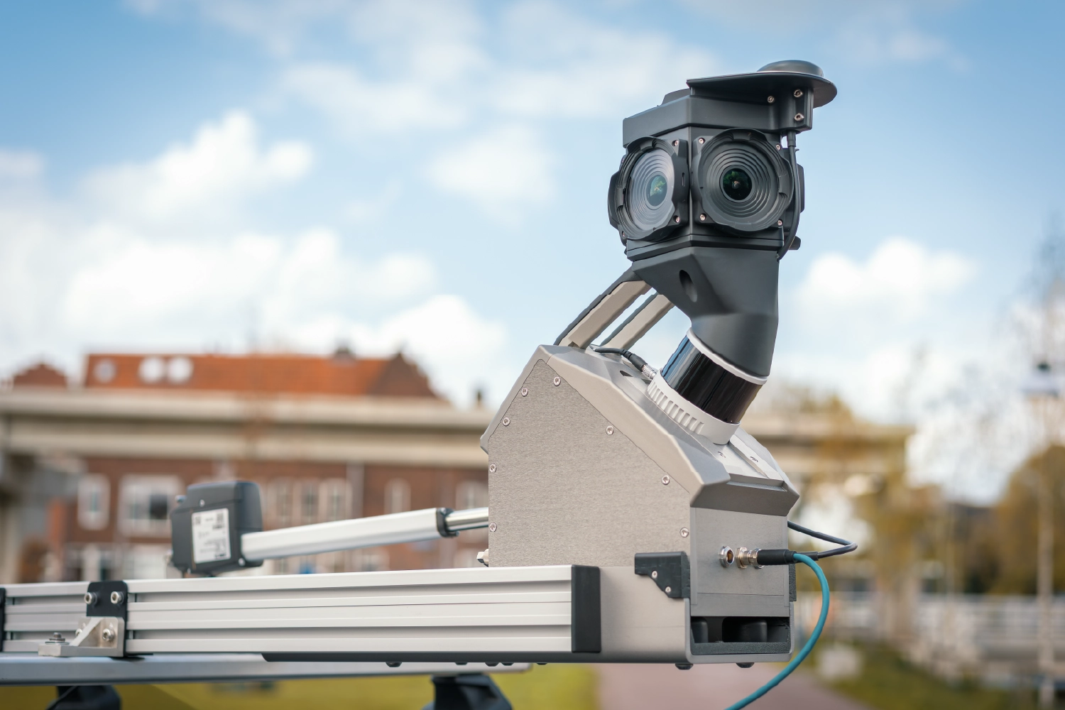
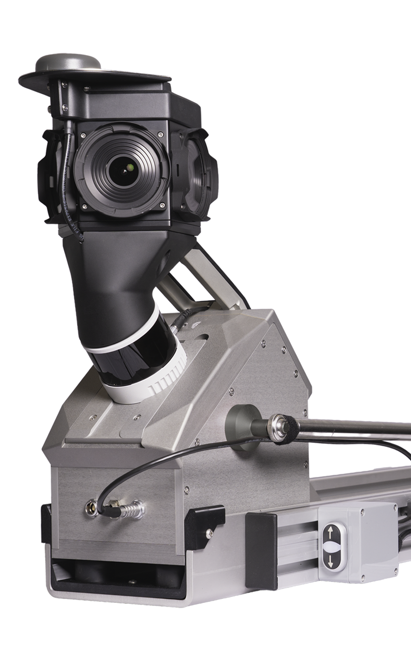
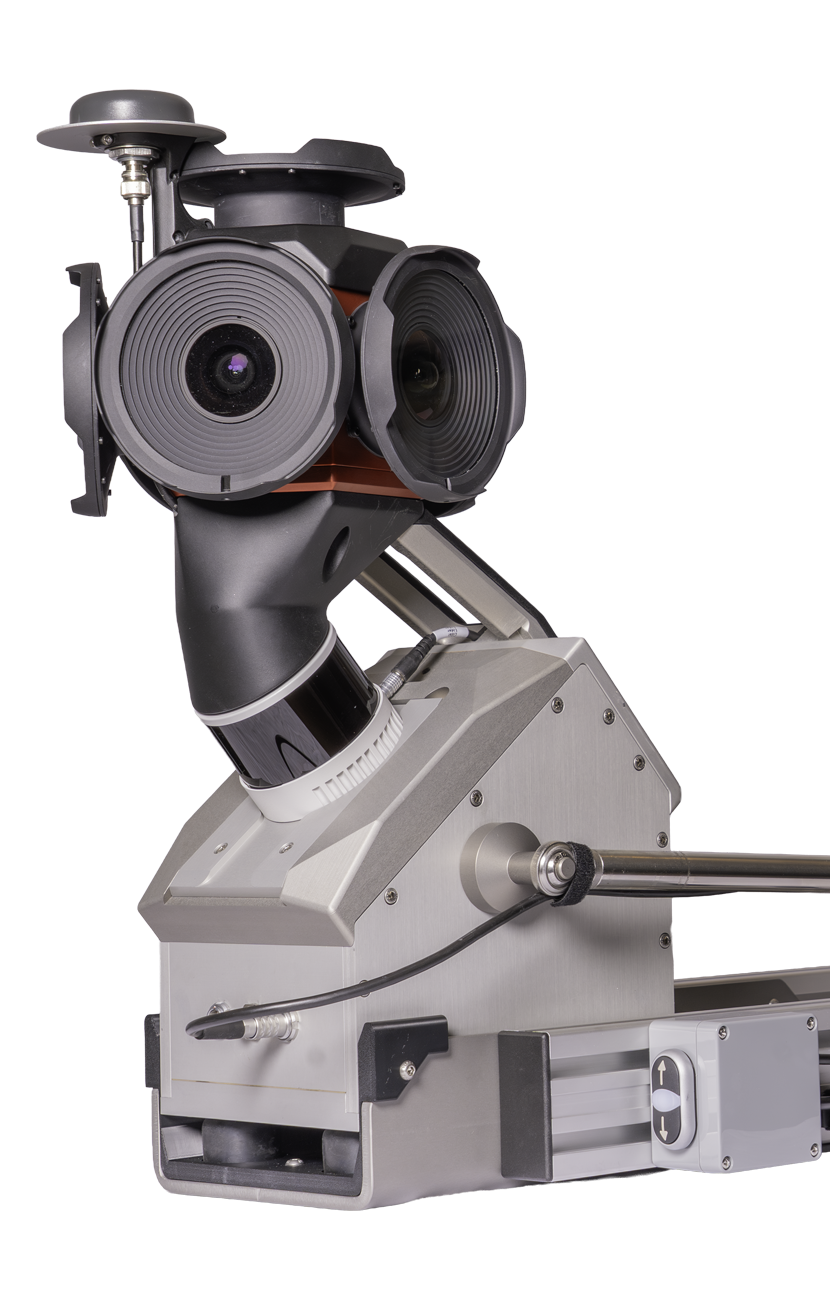
Vertex mobile mapping system gives you the best of both worlds: a ready-to-deploy mobile mapping system with a modular setup that can be configured around your use case, connecting sensors, positioning and data output through Horison into one flexible platform.
Turnkey when you need speed.
Flexible when your needs change.
Vertex is designed for teams that need more than a standard mapping setup. The system can be configured around different camera, GNSS/INS and LiDAR options, making it suitable for a wide range of mobile mapping applications.
Whether you are capturing road infrastructure, municipal assets, urban environments or large-scale geospatial datasets, Vertex helps you collect accurate data with control over both hardware and workflow.
Configurable, not rigid
Most mobile mapping systems lock you into a fixed setup. Vertex is built around your sensors, your workflow and your data requirements. Camera, GNSS and LiDAR options are interchangeable without rebuilding the system from scratch.
Data ready when you return
Processing happens in real time, at the edge, on NVIDIA hardware inside the Vertex. By the time you are back at the office, your data is already usable. No waiting for overnight processing runs.
Built on a proven software platform
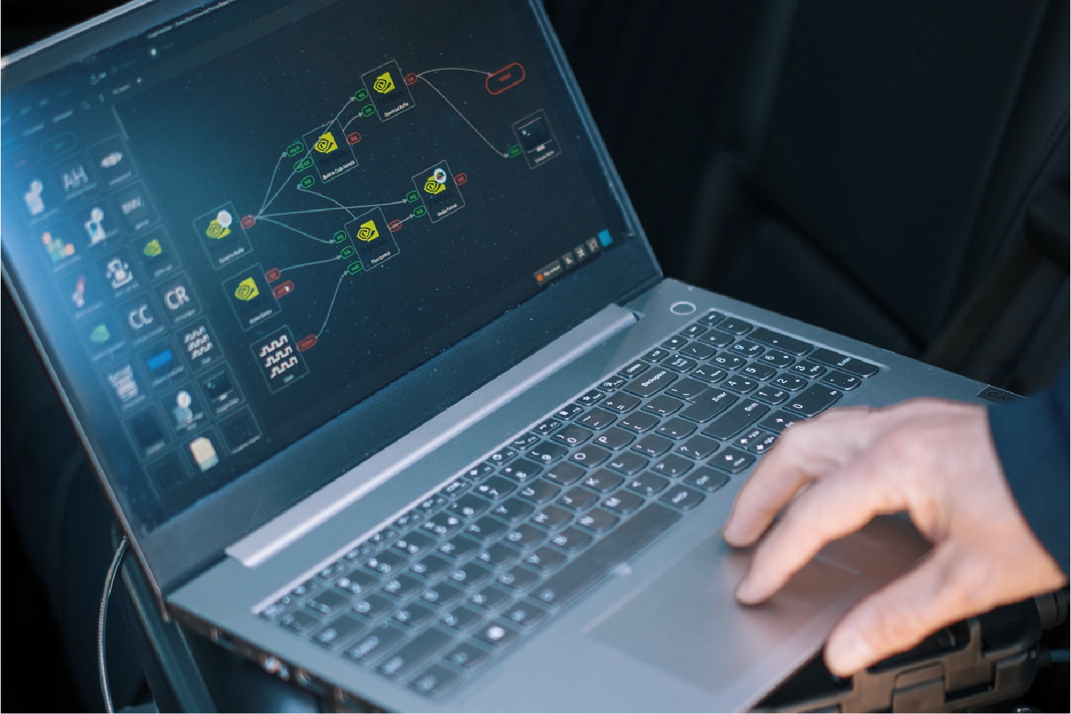
Every Vertex ships with Horison, the same runtime Horus deploys across large production fleets. That means stability tested at scale, and the flexibility to add your own AI models, object detection or custom output formats.
This is how your team saves time in the field
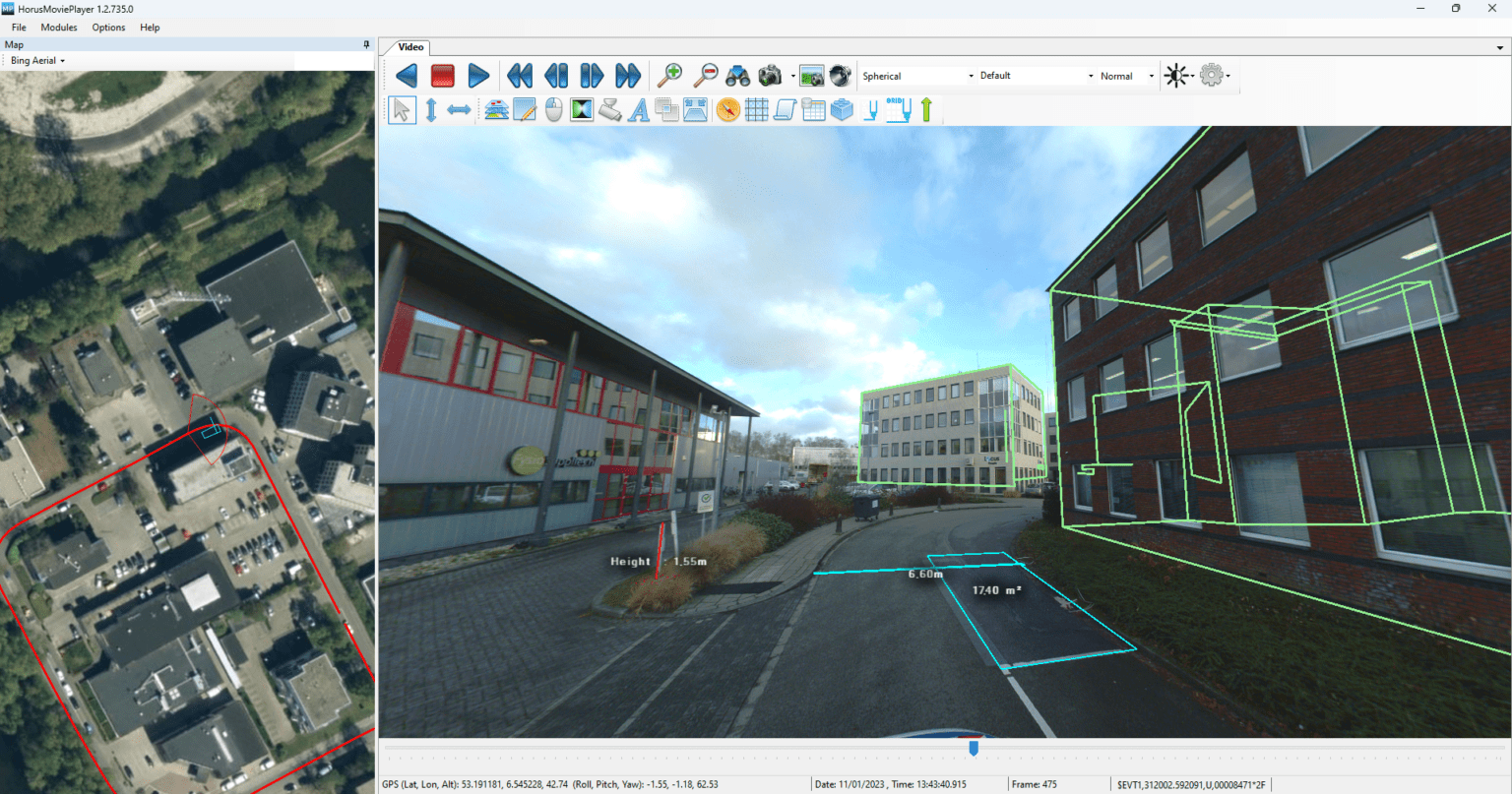
Vertex is easier to understand when you see it run. Watch how the system captures, processes and delivers data in one continuous workflow.
Everything you need to know about Vertex, in one document.
The Vertex brochure covers the system, the specs and the workflow. Download it and see how it fits your project!
Full mapping-grade output
Compact setup
Built on Horison, ready to extend
Configure Vertex around your use case
Every project has different requirements. Vertex is available in multiple camera and LiDAR configurations, so you can match the system to your data needs without compromising on either quality or flexibility.
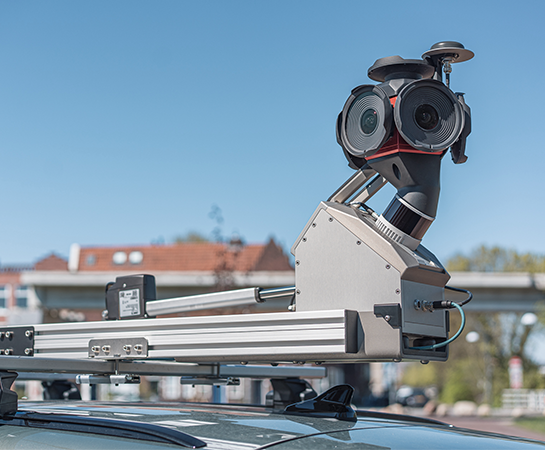
Ladybug 5+
30 MP | The proven choice for professional mobile mapping. Reliable 360° panoramic capture with a track record across large-scale deployments and demanding workflows.
Ladybug 6
72 MP | Higher resolution imagery for projects where detail matters. The Ladybug 6 delivers richer data per drive, making it the preferred choice for applications that require more from every frame.
LiDAR (optional)
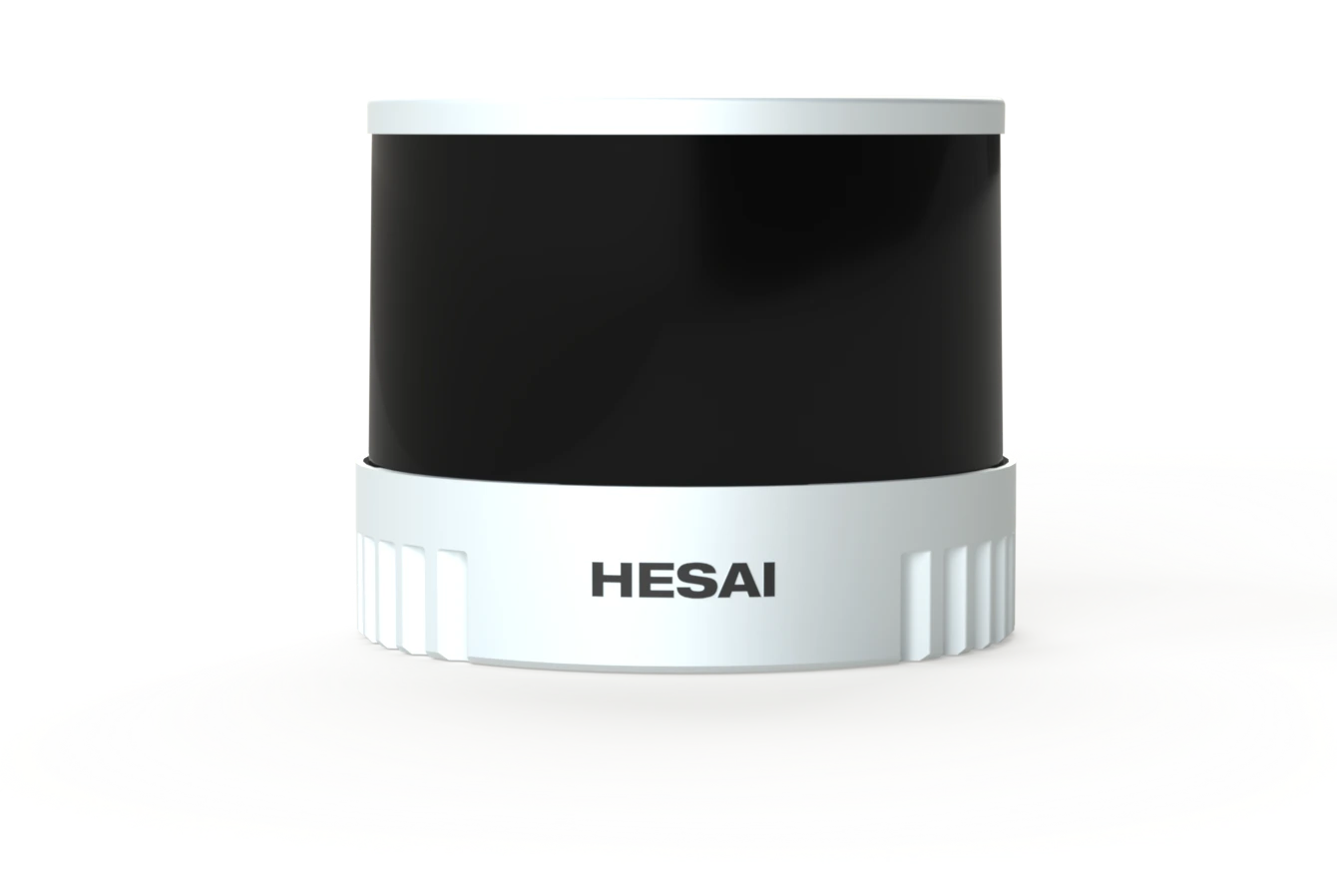
Hesai XT32M2X | 32-channel LiDAR with a range up to 300m and ±1 cm accuracy. Zero blind range means objects are detected even directly at the sensor, making it reliable in tight urban environments. Designed for continuous operation with a 30,000+ hour lifetime.
GNSS/INS: positioning that keeps up with your data
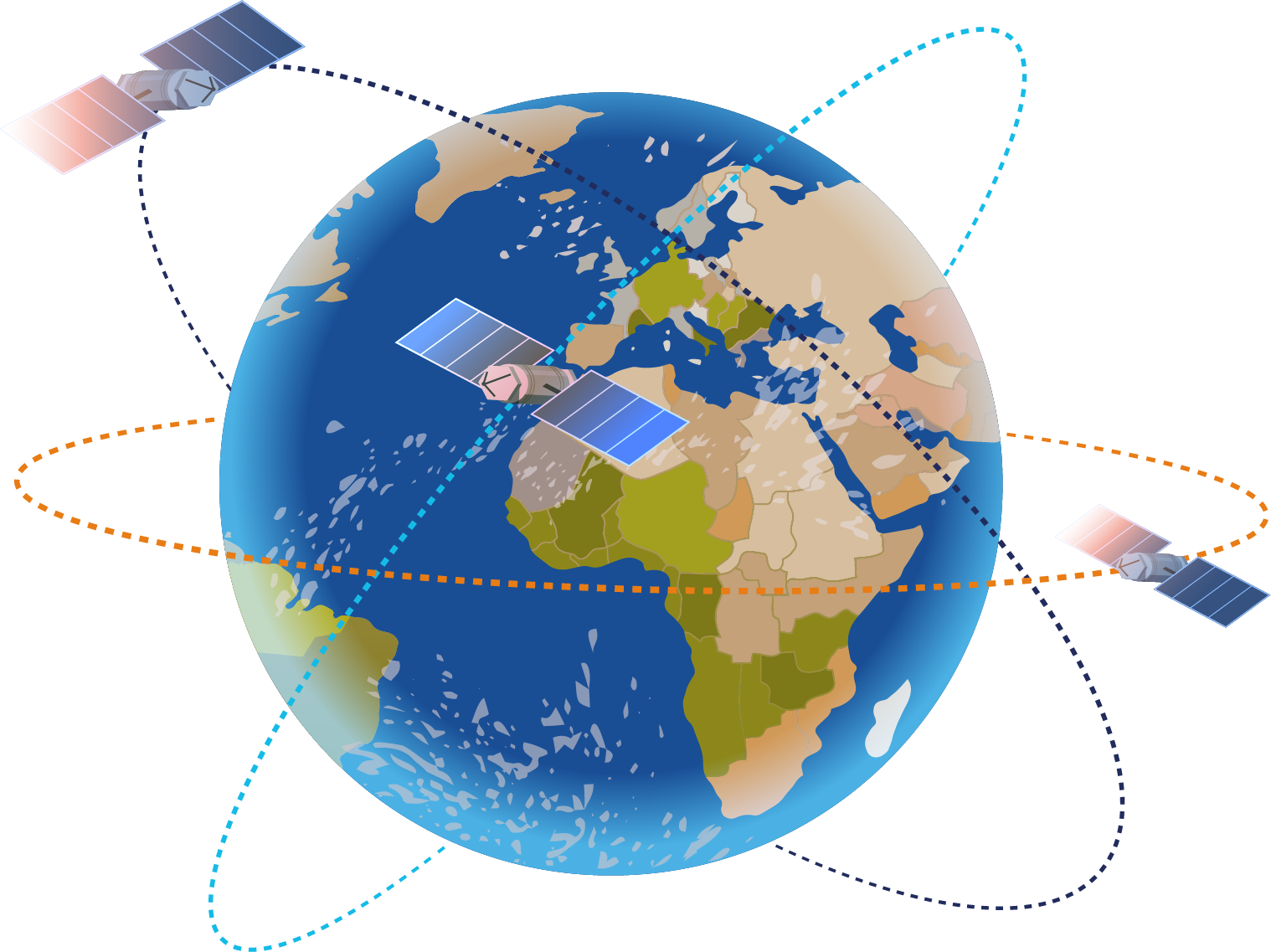
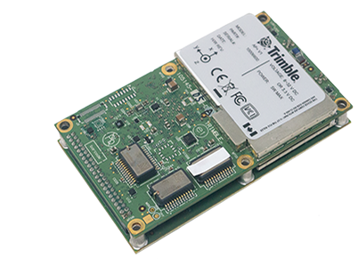
Applanix AP+ 18 2 cm H / 3 cm V (RTK) | True heading accuracy: 0.09° | Reliable positioning for open environments and standard mapping workflows.
Applanix AP+ 30 2 cm H / 3 cm V (RTK) | True heading accuracy: 0.05° | Stronger IMU performance for urban environments and partially obstructed routes.
Applanix AP+ 50 2 cm H / 3 cm V (RTK) | True heading accuracy: 0.02° | Dual IMU setup with the tightest heading accuracy and fastest recovery after signal loss. For projects where positional integrity across the full trajectory is non-negotiable.
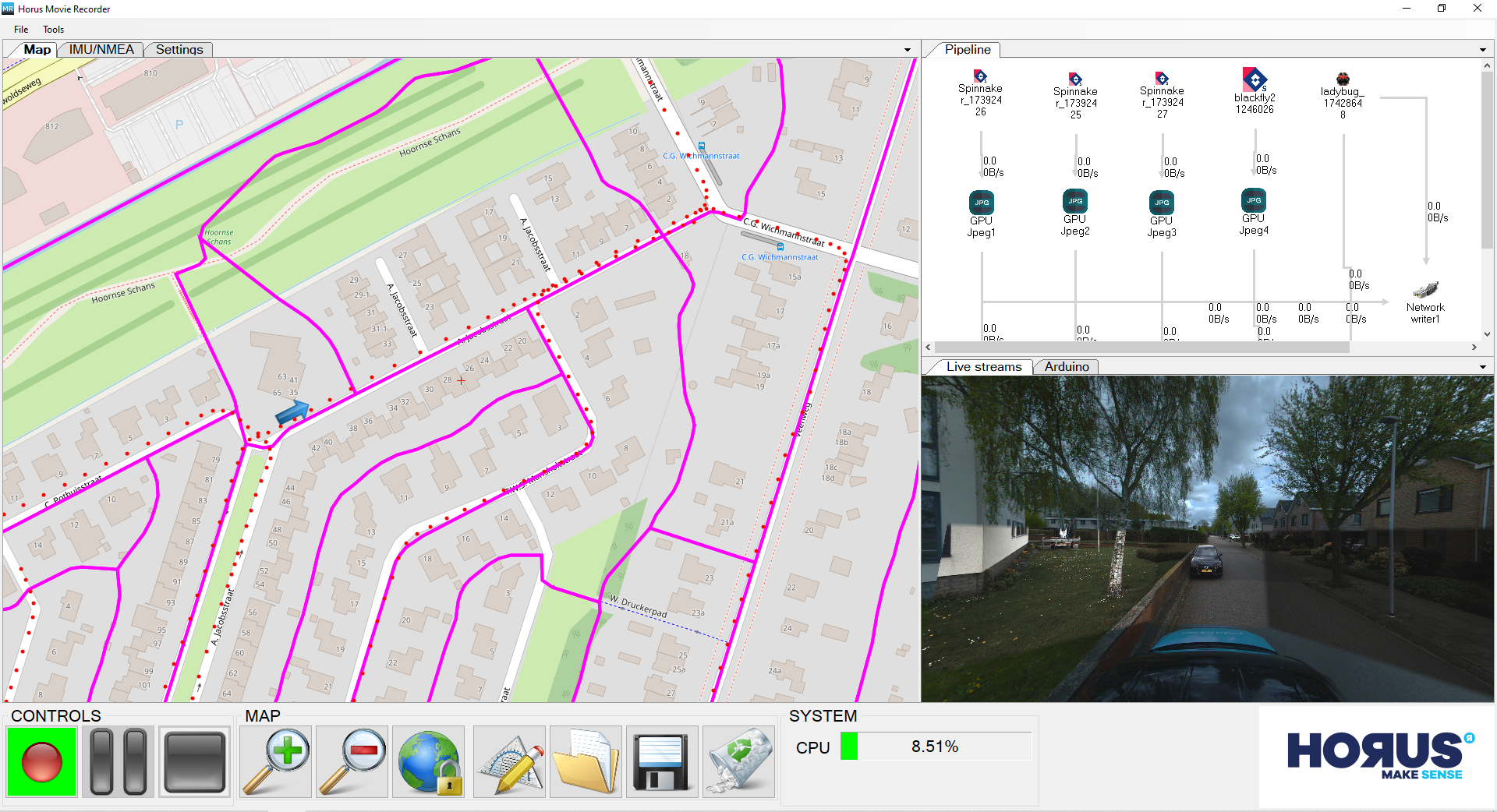
Capture with confidence. Horus Recorder controls your mobile mapping system in the field, managing sensor synchronisation, data logging, and quality checks during every drive. It makes sure you capture right, the first time.
Horus Movie Maker
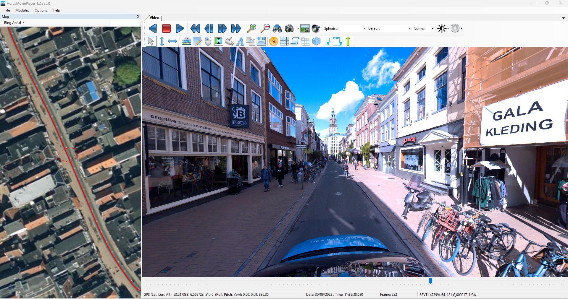
From raw data to finished product. Process and render your mobile mapping data into high-quality, georeferenced imagery and point clouds. Horus Movie Maker handles the heavy lifting so your team can focus on delivery.
Horus Position Fixer
Accurate positioning, even after the fact. Position Fixer applies post-processing corrections to your GNSS and IMU data, improving accuracy across your dataset. Get the precision the project demands without re-driving the route.
From vehicle to deliverable
The Vertex workflow is designed for operators, not engineers. Mount the system in minutes, drive your route, and your data is ready by the time you return.
Vertex is used across a range of industries and project types. From daily road asset surveys to large-scale municipal mapping, the system is built to handle real-world conditions without extra setup or workarounds.
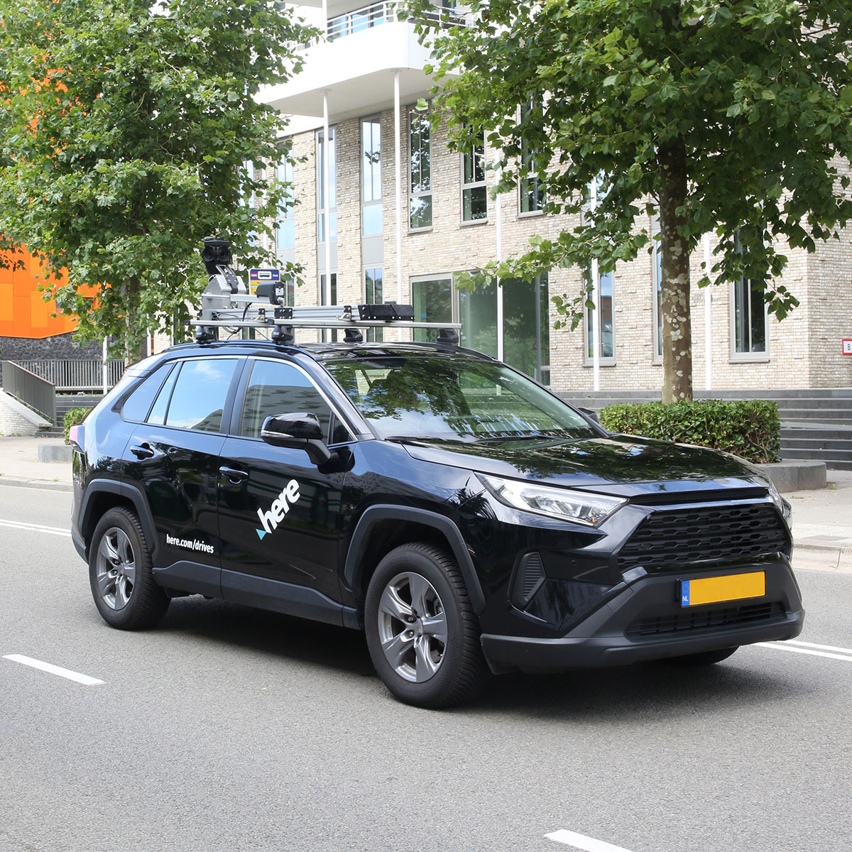
“Our experience operating a global mapping fleet has given us unique insights into what truly matters for data collection at scale. The Horus systems deliver what we need to support our technology and customer requirements. The low power consumption and ease of operation are particularly important for our worldwide operations.”
Danilo Kulaif
Director of Spatial Data Analytics & Engineering, HERE Technologies
These are the core components and specifications that make Vertex a reliable choice for professional mobile mapping teams.
Configuration
Ladybug 5+
Ladybug 6
Customizable
Camera model
Teledyne FLIR Ladybug 5+
Teledyne FLIR Ladybug 6
Resolution
30 MP
72 MP
Operation temperature
Min. 20°C, Max. 50°C
Min. 20°C, Max. 50°C
Maximum FPS per camera
30 FPS
30 FPS
Export formats
RAW, JPEG
RAW, JPEG
LiDAR sensor
Hesai XT32M2X
Hesai XT32M2X
Operating time
Unlimited
Unlimited
Unlimited
Max. speed
130 km/h
130 km/h
Computer
2 x NVIDIA® Jetson AGX Orin™
2 x NVIDIA® Jetson AGX Orin™
Hard disks
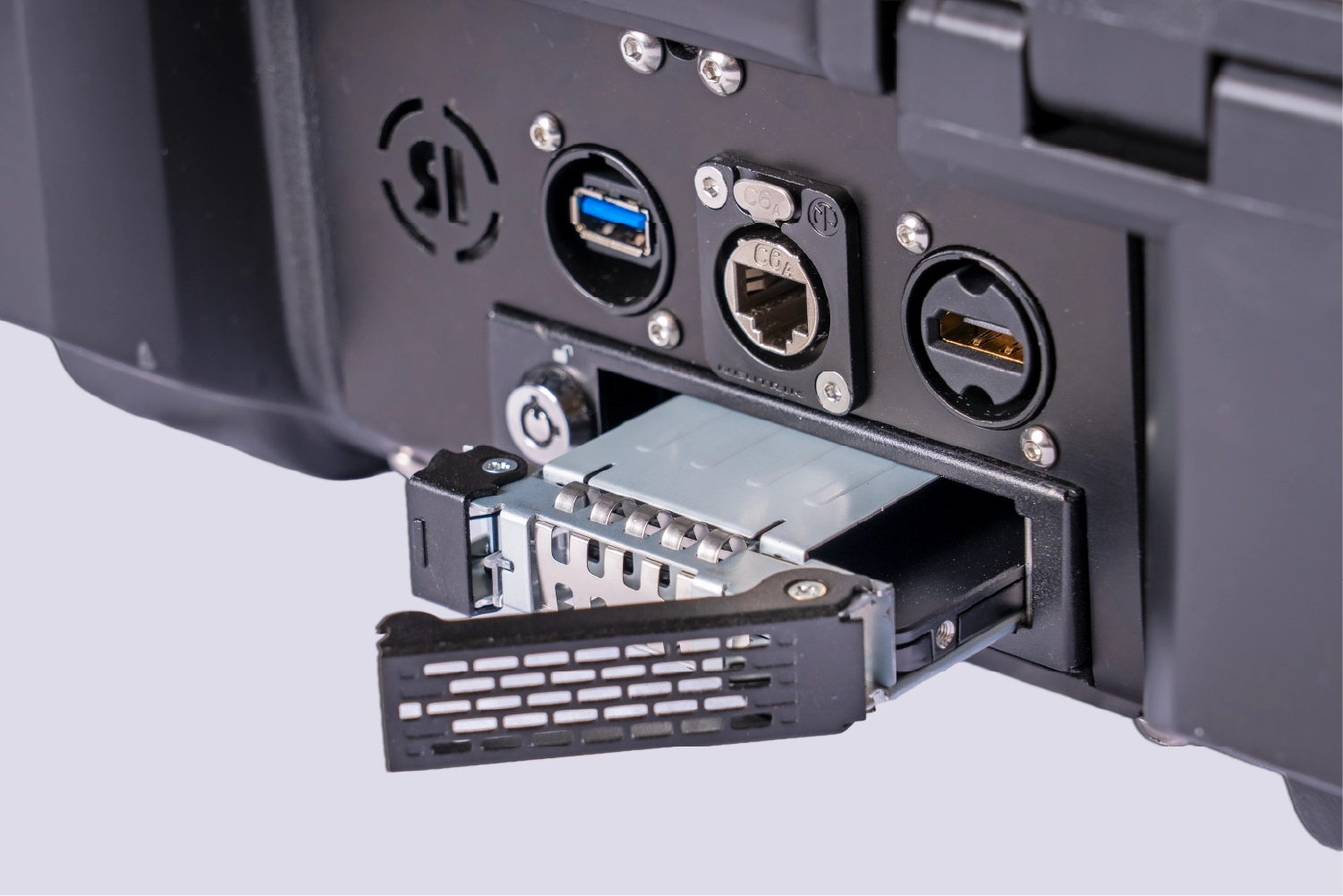
2048 GB, SATA, user replacable
2048 GB, SATA, user replacable
Discuss your configuration
Setting up your own integration is the fastest and most efficient way to start using Kobe. However, if your business processes a high volume of payments and has advanced integration needs
 Live at Intergeo Munich, 15–17 Sept: Horison Framework and our newest Vertex Turnkey Mobile Mapping System in action!