Kempkes Landmeten
Kempkes Landmeten upgraded its street-level imagery with the Horus TRK Extension, adding a 72 MP Ladybug6 without modifying its Leica TRK700. Two seasons later: over 15,600 kilometres captured in a single pass per street.
Client
Kempkes Landmeten
Year
2026
Project
We integrated a Teledyne Ladybug6 camera with a Leica Pegasus TRK700 to deliver survey-grade lidar and readable 360° imagery in one drive.
Customer


Its customers are public space managers, engineering firms and contractors. They come to Kempkes with a question about an area or a project, and Kempkes delivers the geospatial data that answers it.
For mobile mapping, Kempkes runs a Leica Pegasus TRK700. The lidar met expectations, but customers kept asking for sharper street-level imagery. That question led Kempkes to the Horus TRK Extension.
Challenge
The TRK700 delivered the lidar quality Kempkes needed. The imagery did not keep up. Kempkes looked for a way to upgrade its panoramas without touching the base system.
The standard 24 MP panoramas were too coarse for detailed work. House numbers were no longer readable from about 10 metres, which limited the imagery for address checks, valuations and asset inventories.
Some tender specifications require geometrically correct panoramic images. Combining separate high-resolution insert photos with the panorama did not meet that requirement, and common viewers could not display the two together.
OEM suppliers such as Leica often do not allow extensions to be mounted on the base system, for warranty reasons. Any upgrade also had to leave the TRK’s positioning, RTK and GNSS post-processing untouched.
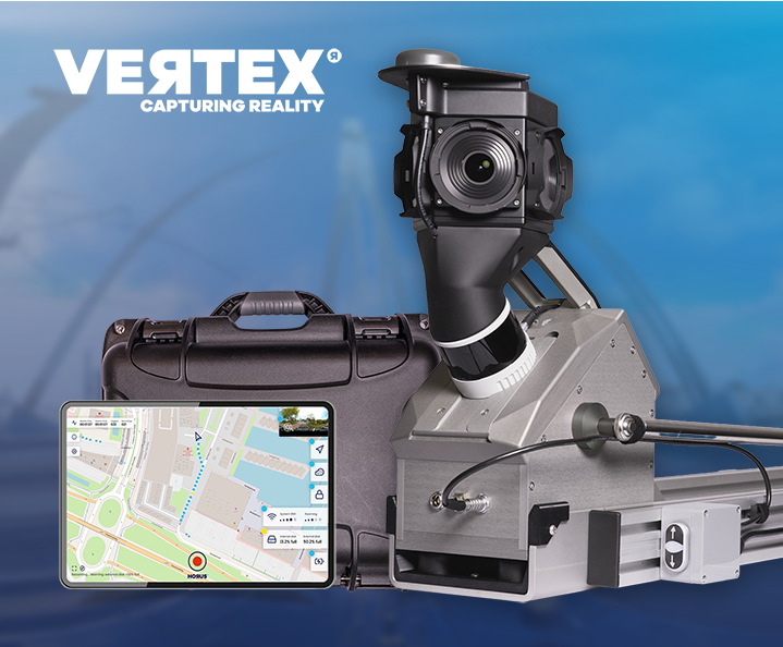
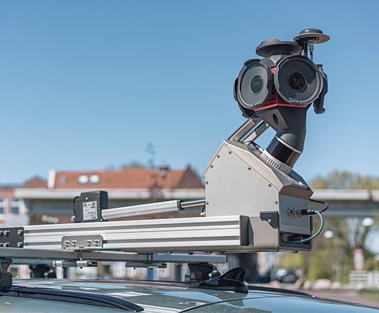
Horus delivered the Horus TRK Extension: a complete imaging add-on built around a 72 MP Teledyne Ladybug6, three times the resolution of the 24 MP panoramas Kempkes worked with before. The camera sits on its own mount next to the TRK700 Evo and records through a dedicated recording unit that runs alongside the Leica system on every drive.
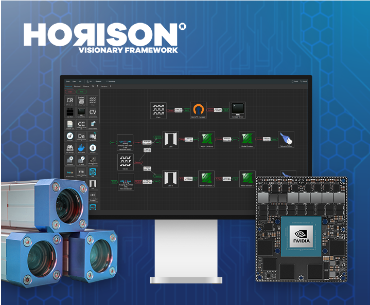
Horus took care of the full chain: the camera positioning study, mount design and engineering, integration on Kempkes’ vehicle, the Horison software for recording and export, and the acceptance test before delivery. Kempkes received a turnkey system. The TRK700 keeps doing what it does best, capturing survey-grade lidar, while the Ladybug6 adds the readable, geometrically correct imagery Kempkes’ customers asked for.
Capture, on-vehicle stitching, synchronisation, format conversion and anonymisation all run on Horison, so the Ladybug6 recordings come off the vehicle ready to use.
The Ladybug6 sits on its own triangulated frame on the roof rack of Kempkes' VW ID. Buzz, centred across the vehicle at about 2.5 m camera height. Nothing is attached to the TRK itself, so the Leica warranty and setup stay untouched.
A ruggedized recording unit with swappable SSD storage captures the Ladybug6 imagery in sync with the TRK drive. One operator runs both systems in a single pass.
With Horison, the Ladybug6 recordings are exported as geometrically correct, de facto standard panoramic JPEGs with metadata. They load directly in common viewers such as Orbit, Kavel10 and Streetwise.
The extension platform is modular. The same separate mounting and synchronised recording approach also supports other sensors, such as thermal infrared cameras, without changing the Leica base system.

Before building the final mount, Horus and Kempkes tested where the camera should go. In July 2024 the team drove the same route in Groningen five times with Kempkes’ TRK: four times with the Ladybug6 on a temporary frame in different positions, and once without it as a baseline.
Each run was checked on GNSS post-processing, SLAM lidar alignment, point cloud colourisation and control points measured on nearby buildings. In the chosen position, the lidar scan lines matched the baseline drive, the camera caused no colourisation artefacts, and the control point deviations were closest to the run without the camera.
With that position confirmed, Horus engineered the final mount for Kempkes’ vehicle. After an acceptance test by Kempkes, the system was delivered in February 2025 and went straight into a proof of concept with one of Kempkes’ own customers. A month later it was in full production.


The system went into production straight away. Between March and August 2025, Kempkes captured all public roads in the 17 municipalities of Regio Rivierenland: more than 7,600 kilometres of 360° panoramas and lidar data. Every dataset was delivered within the deadlines the municipalities had set, ready for public space management, policy development and digital inspections.
In 2026 Kempkes scaled up. From late February the team drove daily through Rivierenland, Achterhoek and Twente, passing the finish at more than 8,000 kilometres. The TRK700 Evo captures survey-grade lidar at up to 20,000 points per square metre, while the Ladybug6 records 72 MP 360° panoramas of the same streets in the same pass.
The imagery and point clouds also work together downstream. 360GEO processes Kempkes’ Ladybug6 panoramas together with the TRK point clouds. According to 360GEO, imagery and lidar line up geometrically with excellent accuracy, despite the distance between camera and scanners.
of public space mapped every year
municipalities served in Regio Rivierenland, the Netherlands
360° panoramic imagery
In 2025 Kempkes captured more than 7,600 km for 17 municipalities in Regio Rivierenland and met every delivery deadline. In 2026 it followed with more than 8,000 km across Rivierenland, Achterhoek and Twente, with the same single system.
The 72 MP Ladybug6 panoramas are geometrically correct and sharp enough to read house numbers and street furniture details. Kempkes can now meet tender requirements that the standard configuration could not.
Because the extension is mounted separately and its position was validated in advance, the TRK700’s positioning, lidar alignment and point cloud colourisation stay as they were.
Standard panoramic JPEGs load directly in the viewers Kempkes and its customers already use, and combine with the TRK point clouds in tools such as 360GEO.
Public space managers get a better view of the current state of their area. Engineering firms prepare projects faster, and contractors get reliable site information earlier. The result: fewer manual inventories and fewer surprises in the field.
Kempkes Landmeten turned its Leica TRK700 into a combined lidar and high-resolution imaging platform, without changing the base system. By testing the camera position before building, Horus and Kempkes made sure the upgrade added image quality without costing accuracy. The result: more than 15,600 kilometres of public space captured in two seasons with a single system, with data that public space managers, engineering firms and contractors can use right away.
The same extension concept works beyond panoramic imagery. Horus can also add thermal infrared cameras to a Leica TRK, for use cases such as heat loss mapping, moisture detection and tunnel inspection.
More projects
Behind every project is a team that needed mapping to work for their specific situation. These stories show how we worked with them, from the first question to a system running in the field. See what became possible when the right people, technology and use case came together.
Capture, inspect and manage road assets with mobile mapping.
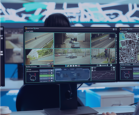
Real-time situational awareness, powered by integrated sensor data.
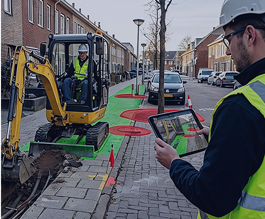
Mobile capture for grid operators, telecom networks and public infrastructure.
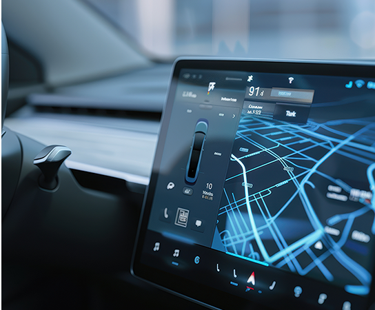
High-frequency, AI-ready mapping data for automotive and autonomous driving development.
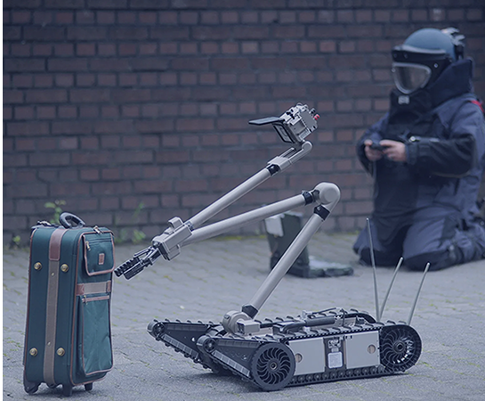
Spatial awareness solutions for complex and time-critical environments.
Capture complete street-level imagery
Generate precise 3D spatial data
Improve location accuracy at every point
Reveal thermal data and heat patterns
Turn raw imagery into usable data
Connect sensors, systems and workflows
Real-time AI, on your hardware
See your mapping data, exactly as captured for quality assurance and fast GIS data entry
Extend your Trimble MX, Leica TRK or other mobile mapping system with a new sensor layer, captured in the same run
Capture thermal imagery alongside your regular survey to reveal heat loss, leaks and overheating assets.