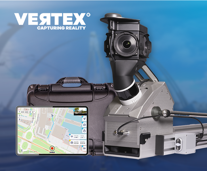
Live at Intergeo Munich, 15–17 Sept: Horison Framework and our newest Vertex Turnkey Mobile Mapping System in action! Request tickets & schedule meeting →
Your mapping technology partner that makes sense
Horus develops smart mobile mapping solutions that help you capture reality, integrate technology and turn complex data into practical results.
From data capture to output: one framework for integrating, processing, analysing and sharing imagery, GIS data and point cloud.
We create reality capture technology that turns data into action.
Horus is leading provider of reality capturing solutions to map the world on the go.
Since 2011, Horus has been using its specialized knowledge, extensive experience, and unique software platform to provide adaptable mapping solutions that adapt to our clients’ evolving needs.
Capture reality
Collect imagery, LiDAR and positioning data in a single drive. Mapping-grade quality at scale, from a single street to a full network.
Integrate without friction
Connect sensors, vehicles and existing systems into one workflow. New cameras or data sources fit in without rebuilding what already works.
Go from data to delivery
Turn raw capture into structured, usable output. AI-supported processing delivers data straight into your GIS, asset or reporting systems.
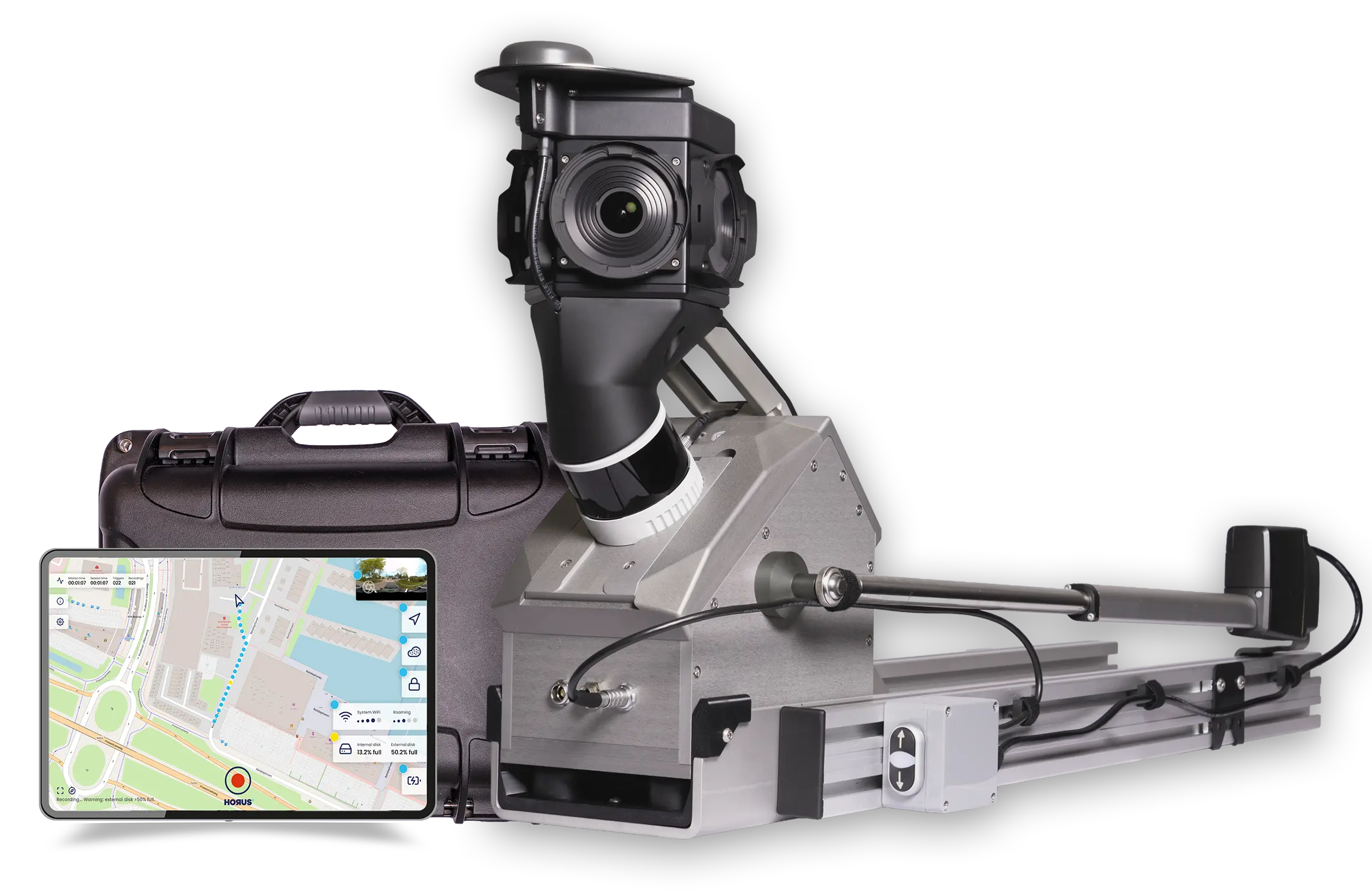
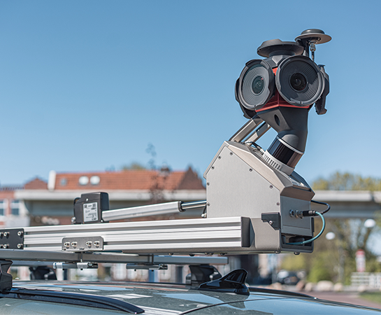
Vertex gives you the best of both worlds: a ready-to-deploy mobile mapping system with a modular setup that can be configured around your use case, connecting sensors, positioning and data output through Horison into one flexible platform.
Reality capture.
Without compromise.
Built for teams who need mobile mapping to just work. Every shift, every vehicle, every condition.
Vertex is used across a range of industries and project types. From daily road asset surveys to large-scale municipal mapping, the system is built to handle real-world conditions without extra setup or workarounds.
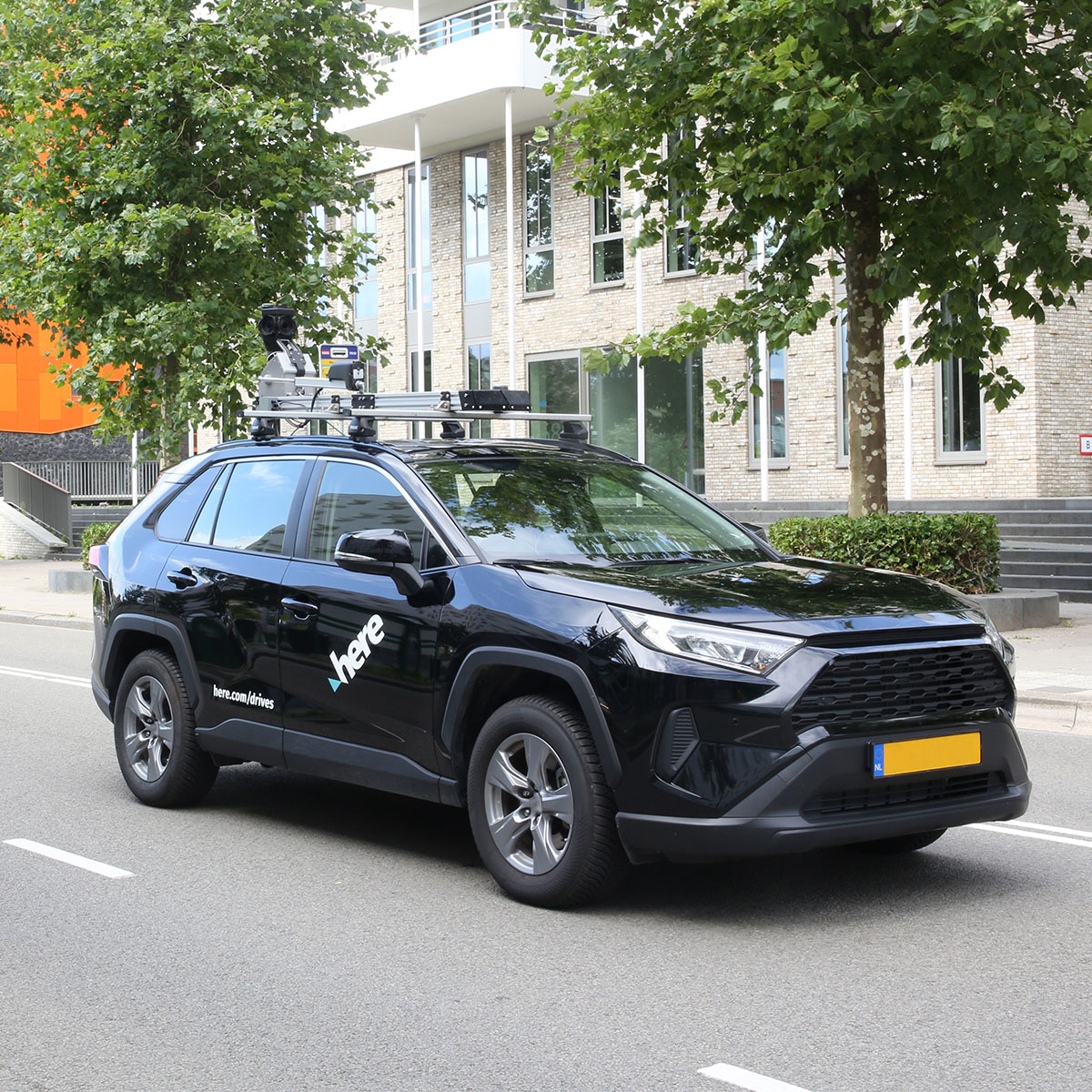
“Our experience operating a global mapping fleet has given us unique insights into what truly matters for data collection at scale. The Horus systems deliver what we need to support our technology and customer requirements. The low power consumption and ease of operation are particularly important for our worldwide operations.”
Danilo Kulaif
Director of Spatial Data Analytics & Engineering, HERE Technologies
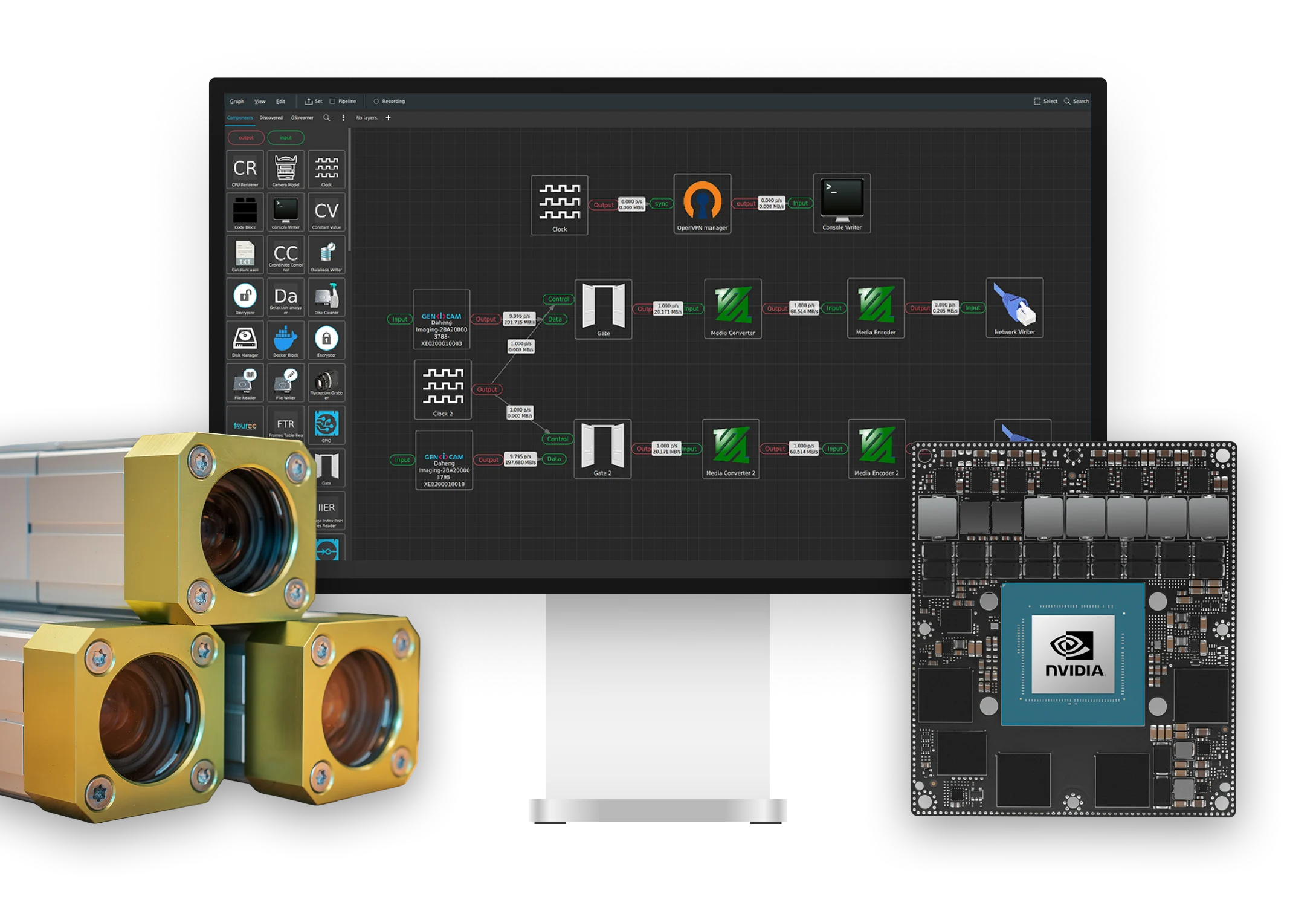
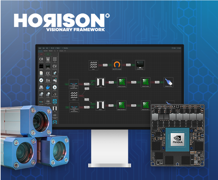
Horison is a low-code framework that helps you accelerate development, integrate AI with flexibility and turn imagery into deployable, actionable mapping solutions.
Build faster. Scale further. Stay flexible.
Horison gives your team a proven foundation for integrating sensors, positioning, imagery and AI. Less time rebuilding from scratch, more time delivering results.
Speed up development
Reduce development time with a low-code framework that helps you move from concept to deployment much faster. Build, test and integrate new applications without the long R&D cycle.
Integrate AI with flexibility
Run your own models or ours, on the edge or in the cloud. Swap components as requirements change, without rebuilding the pipeline underneath.
Turn imagery into mapping data
Convert raw capture into structured output your teams can act on. Detections, measurements and attributes flow straight into your GIS or asset management system.
 Live at Intergeo Munich, 15–17 Sept: Horison Framework and our newest Vertex Turnkey Mobile Mapping System in action!