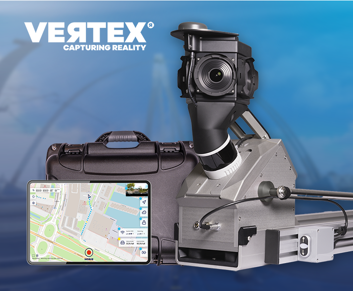
 Live at Intergeo Munich, 15–17 Sept: Horison Framework and our newest Vertex Turnkey Mobile Mapping System in action! Request tickets & schedule meeting →
HD mapping and autonomous driving require precise, high-frequency spatial data and the operational flexibility to deploy at scale. Horus systems combine panoramic imagery, LiDAR and accurate positioning into a single capture workflow, built to keep pace with fast-moving automotive development programmes.
Produce accurate, up to date HD map data at the scale and frequency your navigation programmes require. Vertex delivers the georeferenced imagery and point cloud data that map production workflows depend on, across single test routes or multi-vehicle national coverage campaigns, with consistent quality throughout.
Feed your ADAS validation and simulation pipelines with ground truth data you control. Horus capture systems produce the precise, timestamped road environment data needed for perception model training, scenario reconstruction and safety validation, integrated with the NVIDIA platform for a direct path from sensor to training-ready input.
Horus systems are designed to work in the real world, not just the lab. Compact form factors fit any vehicle, including rental fleets, without structural modification. Low power consumption keeps operational costs down. Individual hardware components can be replaced in the field, minimising downtime after damage. Edge mapping functionality reduces dependency on centralised processing infrastructure. The result is a lower total cost of ownership across the full lifecycle of your mapping programme, without compromising on data quality or capture frequency.
Vertex is used across a range of industries and project types. From daily road asset surveys to large-scale municipal mapping, the system is built to handle real-world conditions without extra setup or workarounds.
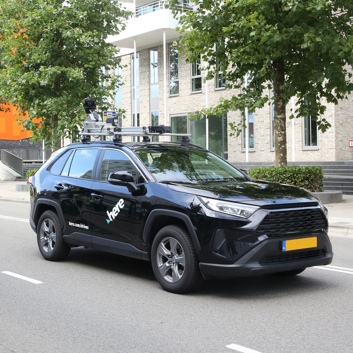
“Our experience operating a global mapping fleet has given us unique insights into what truly matters for data collection at scale. The Horus systems deliver what we need to support our technology and customer requirements. The low power consumption and ease of operation are particularly important for our worldwide operations.”
Danilo Kulaif
Director of Spatial Data Analytics & Engineering, HERE Technologies



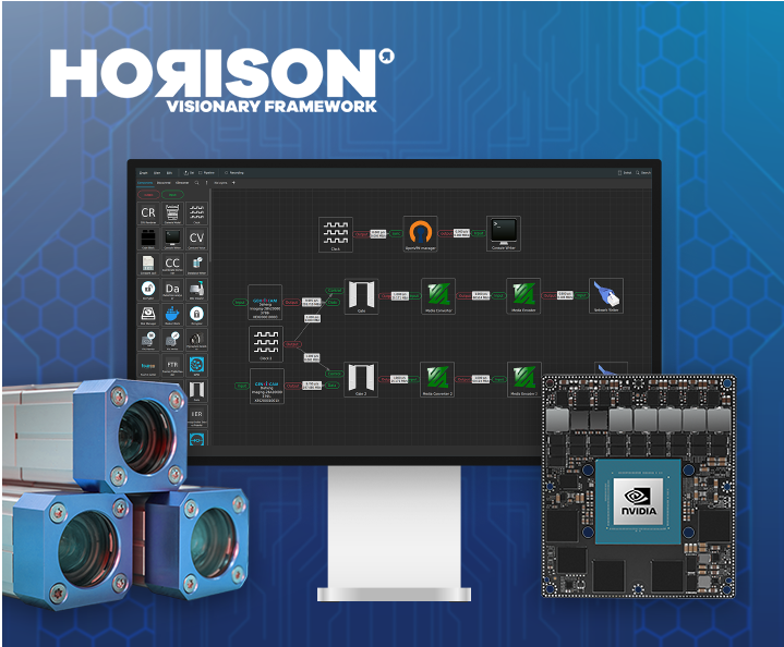
Future proof drag-and-drop pipeline builder for imagery solutions and (AI) mapping on the edge
See your mapping data, exactly as captured for quality assurance and fast GIS data entry
Plan your next inspection cycle with accurate, georeferenced data from Horus mobile mapping technology.
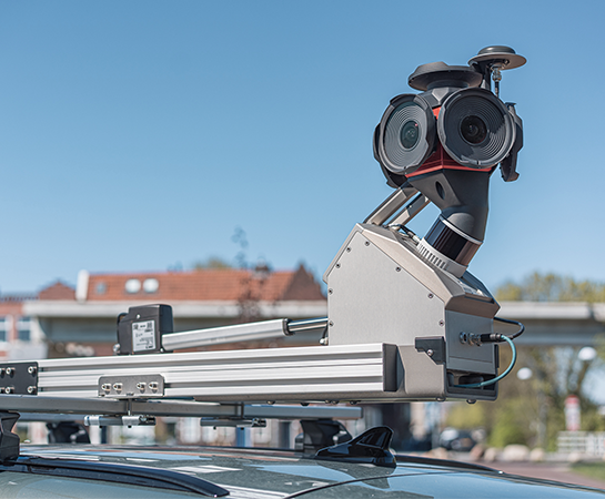
Capture, inspect and manage road assets with mobile mapping.
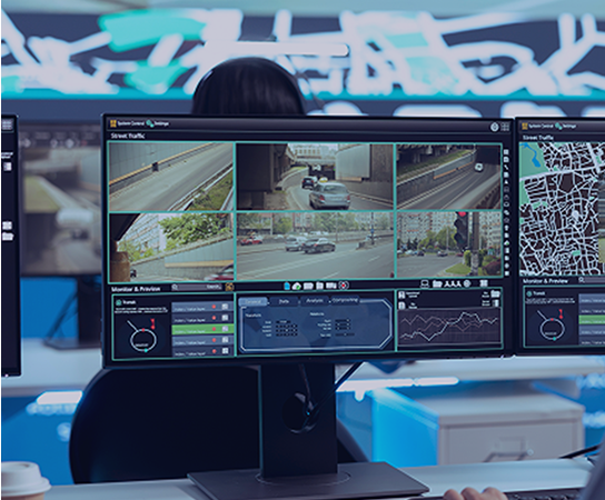
Real-time situational awareness, powered by integrated sensor data.
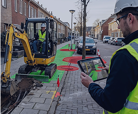
Mobile capture for grid operators, telecom networks and public infrastructure.
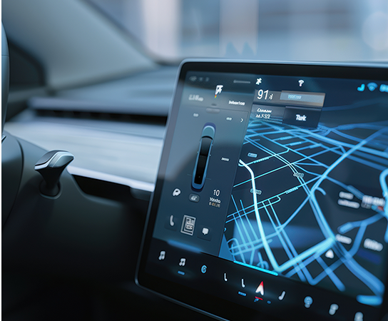
High-frequency, AI-ready mapping data for automotive and autonomous driving development.
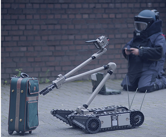
Spatial awareness solutions for complex and time-critical environments.
Capture complete street-level imagery
Generate precise 3D spatial data
Improve location accuracy at every point
Reveal thermal data and heat patterns
Turn raw imagery into usable data
Connect sensors, systems and workflows
Real-time AI, on your hardware
See your mapping data, exactly as captured for quality assurance and fast GIS data entry
View and share street-level imagery online with speed and consistency