Making sense of the world around you, since 2011.

 :
 :
 :
 :
 :

Who we are

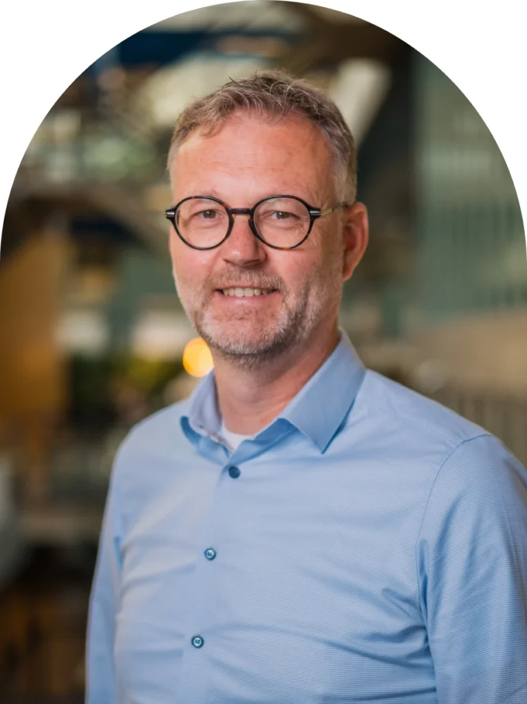
“Horus exists to eliminate waste, in time, cost, and effort, between capturing reality and making better decisions.

We built a sensor integration operating system that makes powerful mapping hardware easy to deploy and use.

Our open, low-code framework handles the complexity, sensor fusion, data processing, application logic, while your organisation keeps full control over its own IP and integrations. Less friction.

More insight. On your terms.”

Dirk Aalbers

CEO Horus

Where we come from

A timeline built on practical innovation.

Founded

Horus starts with a clear mission: solving inefficiencies in situational awareness through advanced sensor integration technology.

First market traction

Successful introduction of road inspection services with asset owners such as Rijkswaterstaat, provinces and major contractors. In parallel, we develop our first specialised video surveillance and traffic research systems for the national police.

Geospatial World Innovation Award

at the Geospatial World Forum (GWF).

Capital & innovation

Investment funds NOM and Groeifonds, together with several business angels, join Horus. This accelerates our software development and international expansion, with 360° Virtual Reality Streaming as a technological highlight.

19th in MKB Innovatie Top 100

recognised for an anti-poaching detection system used by wildlife protection services in Africa.

5G Award winner

with VRiendje.

Focus on mobile mapping

A strategic shift towards high-volume mobile mapping solutions and scalable, recurring software models. Our international footprint grows to more than 40 countries.

Global market position

Horus establishes itself as a leading global player in intelligent mobile mapping, driven by our flagship platform Horison and close technology partnerships with NVIDIA, Trimble and Teledyne.

The next growth phase

Horus becomes part of Nilario, a group of measurement and monitoring technology companies. This combined strength lets us scale our innovation and international growth even faster in the years ahead.

our Products

What we build

Hardware, software and platforms that turn reality capture into usable data.

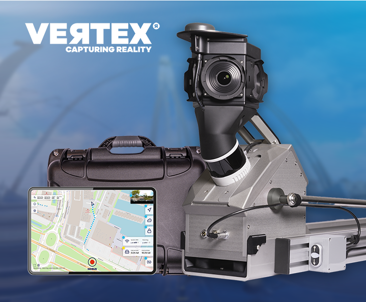
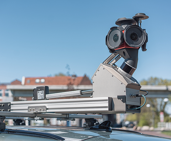
Vertex is our modular, turn-key mobile mapping system for collecting high-quality imagery and LiDAR data. It runs on low power, so it can be operated from EVs, mounts on virtually any vehicle, and is easy to transport. Real-time AI and anonymisation options can be applied directly in the field.

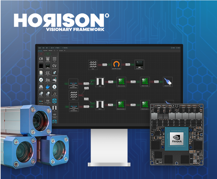
With Horison, we help you build and maintain data collection systems faster, cheaper and more flexibly. It anonymises data, prepares it for use, turns it into actionable insight through AI models, and visualises it, all within one framework.

Built to keep you moving, driven to never waste a moment.

Our advisors look at what genuinely fits your situation or use case, from the sensors you need to the workflow that actually solves your problem. We think alongside you across hardware engineering, software engineering and business development, keeping your business running so your time to market stays on track, and keeping you future-proof so you can stay focused on your core business.

Because we don’t like waste, not in workflows, not in data pipelines, not in the gap between capturing reality and acting on it, we keep pushing what technology can do right now, right here. That’s why more and more intelligence runs directly on the edge, on the vehicle, in the field, in real time, for faster insight, lower cost and better decisions where they matter most.

That’s what gets us out of bed. Not mapping for mapping’s sake, but making sense of the world at the moment it counts.

Partners

Built on strong technology, backed by the partners who help us push it further.

The minds behind our mapping technology

A team built on experience and stability: a large part of the team has been with Horus for 7 to 9 years, forming a stable core, with several people staying on for more than 10 years, keeping key knowledge in-house.

  • 15 team members: small team, big mileage

  • Average tenure: around 7.5 years

  • A decade of knowledge, still on the team

  • Marten

    Software Engineer

  • Rens

    Software Engineer

Join the team!

We’re always looking for people who want to build practical mapping technology. Hardware, software or field engineering, if you like solving real problems, we’d like to meet you.

Ready to start mapping?

Talk to our team about your use case. We’ll help you find the right configuration.

  • Solutions
  • Products
  • Knowledgebase
  • Company
  • Contact