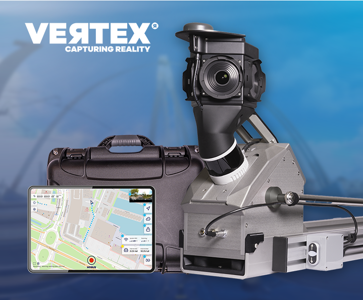
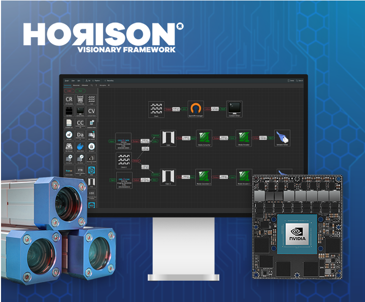
Live at Intergeo Munich, 15–17 Sept: Horison Framework and our newest Vertex Turnkey Mobile Mapping System in action!
 Mobile Mapping Technology, Made Practical
From street-level imagery to actionable spatial data. Horus builds mobile mapping systems that combine proven hardware, intelligent software and configurable sensor setups into one deployable solution.
What is a mobile mapping system?
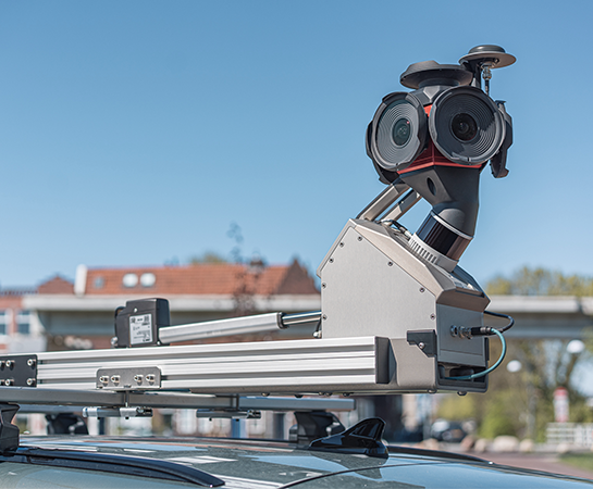
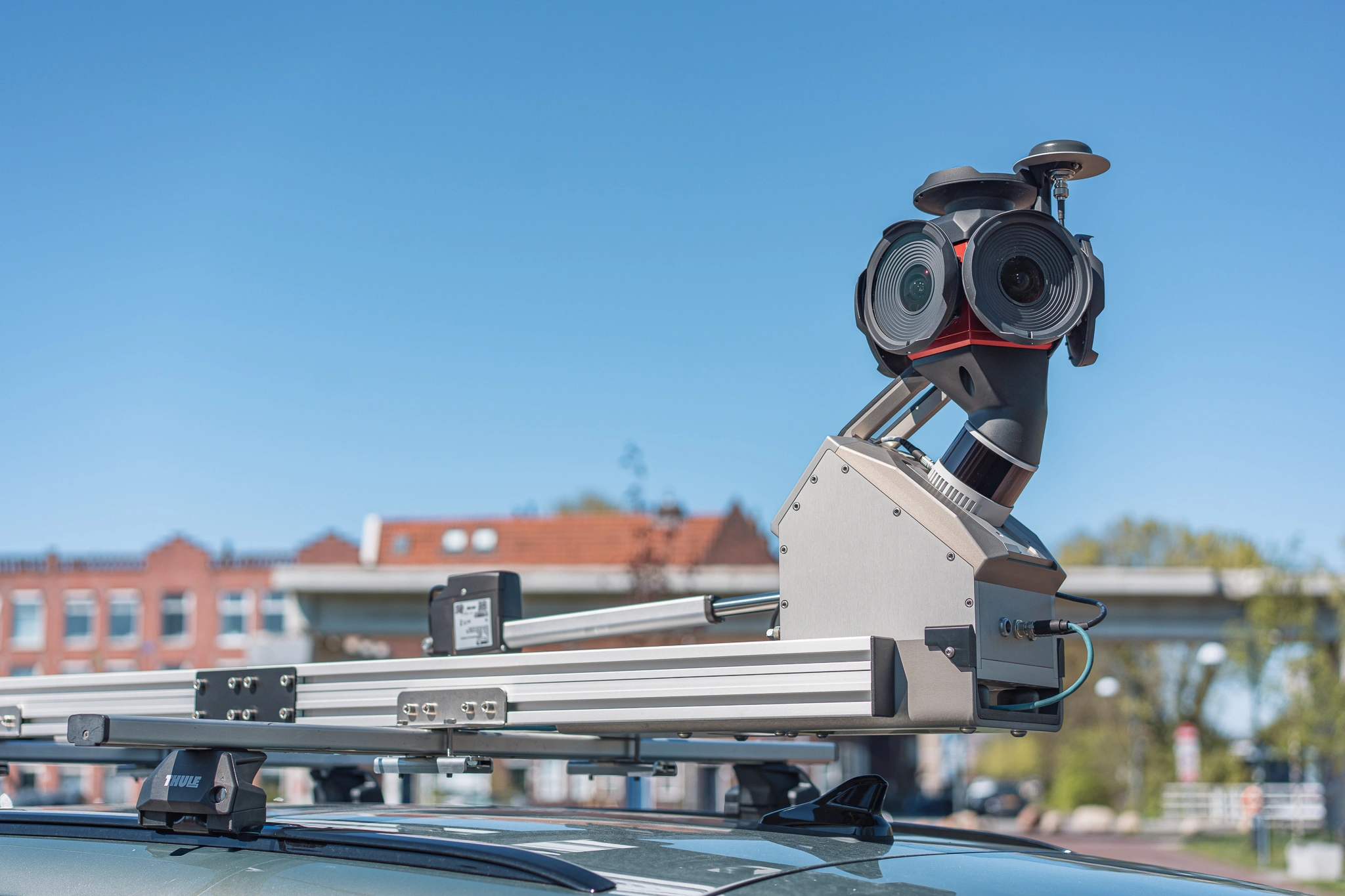
Mobile mapping is the process of capturing spatial data from a moving vehicle. Cameras, LiDAR sensors and positioning systems work together to record the surrounding environment, street by street, kilometre by kilometre.
Our mission is rooted in proactive protection, innovation, and empowering organizations with advanced digital defenses.
Mobile mapping results
The result is a precise, georeferenced dataset that organisations use for road inspection, asset management, infrastructure planning, urban inventarisation and more. Where traditional surveying is slow and labour-intensive, mobile mapping covers large areas quickly and consistently.
Technologies
Modern mobile mapping systems combine multiple technologies in a single unit. The quality of the output depends on how well those technologies are integrated, calibrated and aligned with the use case.
See Every Angle. Miss Nothing.
360° Spherical Imagery
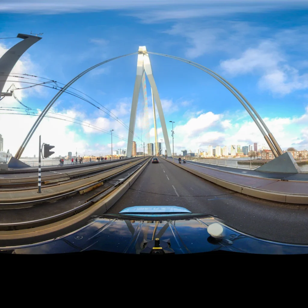
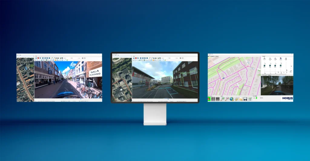
Mobile mapping starts with capturing the world as it is. Spherical cameras record complete, navigable street-level imagery from a moving vehicle, giving every dataset a full 360° visual context. Horus integrates high-resolution spherical cameras into its mapping systems, connecting image data directly to positioning and processing pipelines for accurate, usable output.
depth beyond the lens
LiDAR
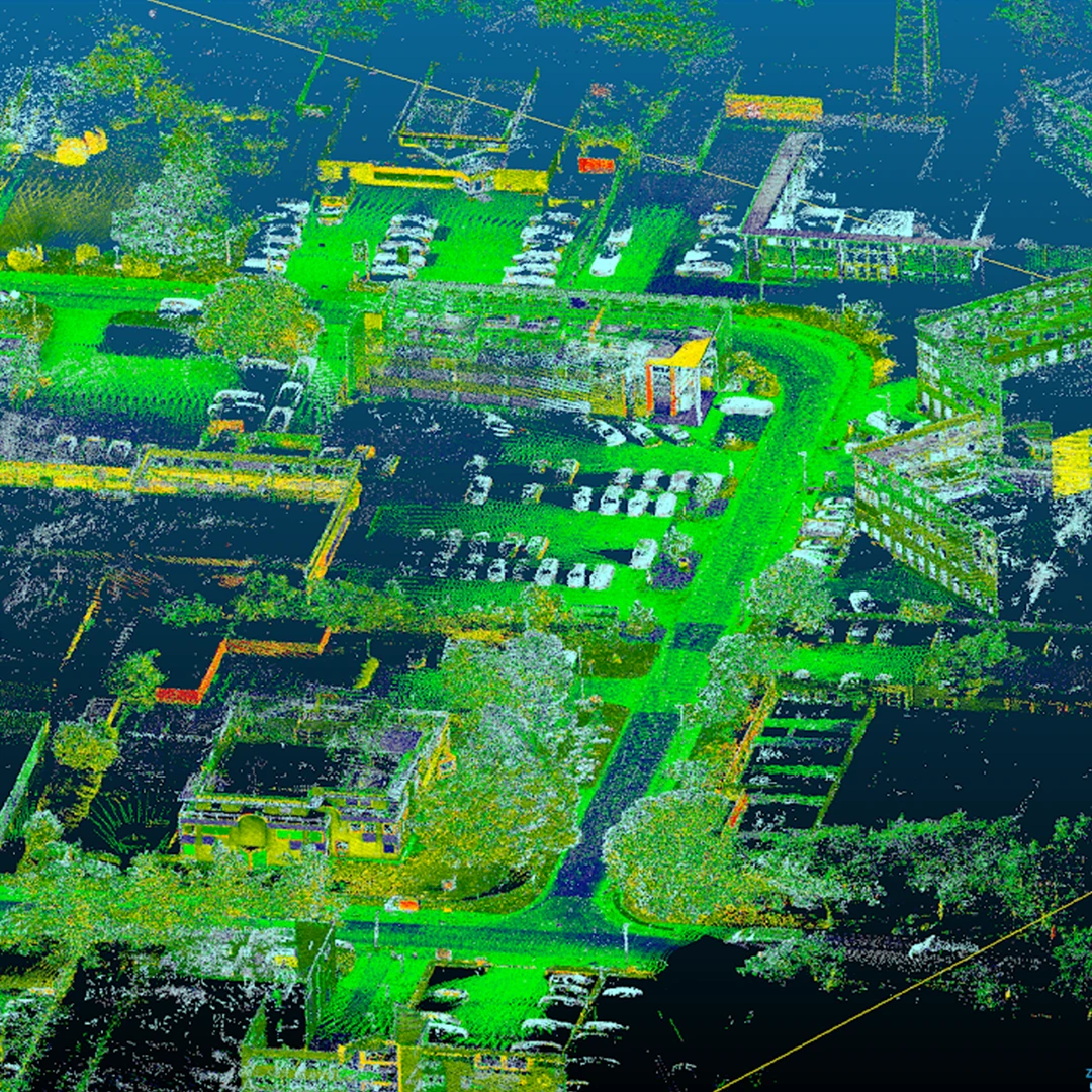
LiDAR uses laser pulses to generate dense, precise 3D point clouds of any environment. In mobile mapping, LiDAR adds a spatial depth layer that imagery alone cannot provide, making it essential for accurate distance measurements, object classification and digital terrain modelling. Horus integrates LiDAR sensors directly into its mapping systems, connecting raw point cloud data to the Horison framework for processing and output.
ACCURACY YOU CAN BUILD ON
Precision Positioning
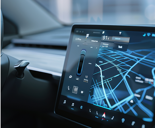
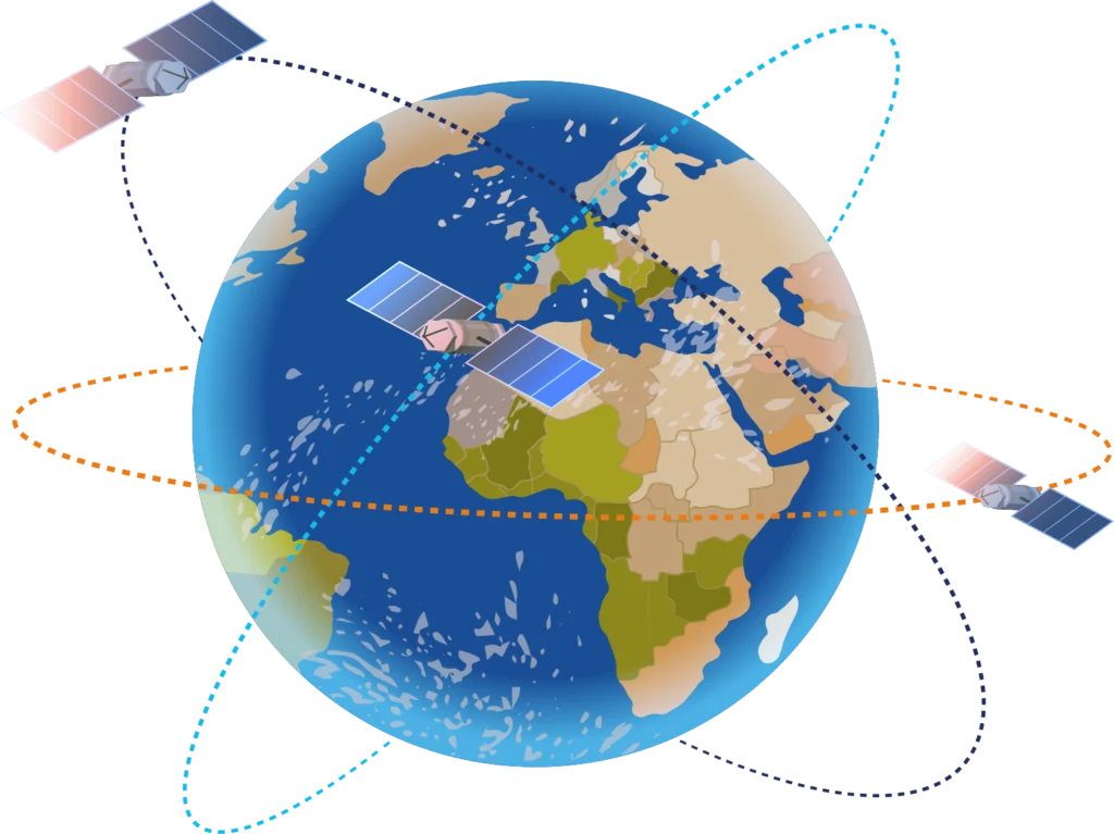
Accurate positioning is the foundation of reliable spatial data. Without it, every captured image and LiDAR point loses its value. Horus integrates GNSS/INS systems into its mobile mapping hardware, supporting real-time correction via RTX and post-processing via PPK for applications that demand the highest accuracy. The result: less time waiting in the field and more confidence in your data.
HEAT TELLS THE FULL STORY
Infrared Imaging
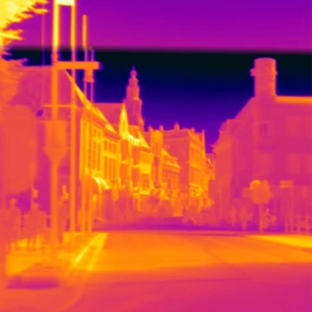
Infrared and thermal cameras extend the reach of mobile mapping beyond what the eye can see. By capturing heat signatures and infrared radiation, they reveal information relevant to energy inspection, infrastructure monitoring and condition assessment. Horus integrates thermal imaging as an extension to existing mapping systems, allowing organisations to add this data layer without replacing their entire setup.
RAW INPUT. STRUCTURED OUTPUT.
Image Processing
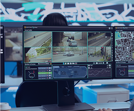
Capturing data is only the first step. Image processing turns raw imagery and sensor output into structured, georeferenced data that can be used for analysis, inventory and decision-making.
Horus builds the software and data pipelines that take captured input through to usable output, including AI-driven object detection via Mercaido and geo-tagging via GeoSuite.
MANY SENSORS. ONE SYSTEM.
Hardware Integration
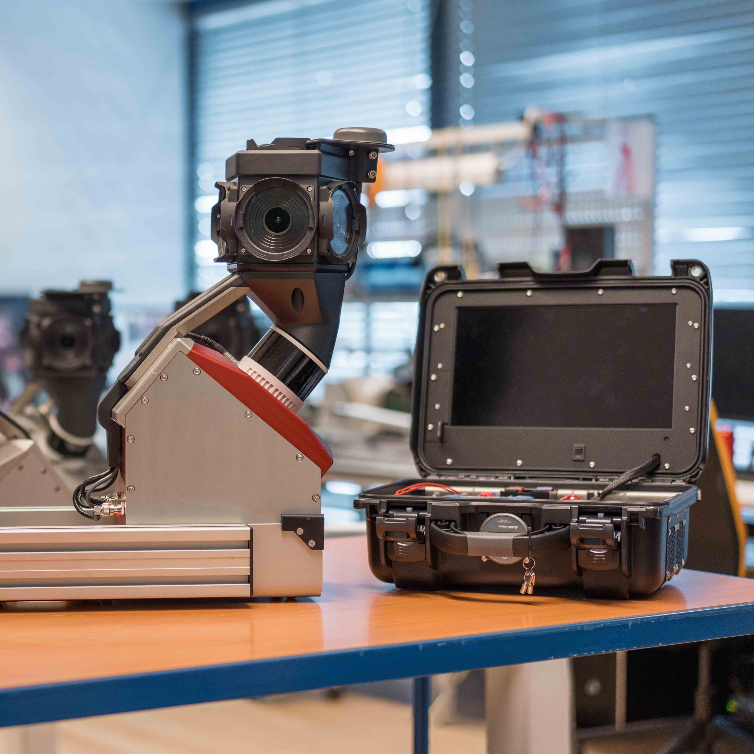
Modern mapping systems combine multiple sensors, cameras, positioning units and data recorders, all of which need to work together reliably. Hardware integration is the discipline of making that happen without compromise.
Horus has built Horison specifically to connect these components in a flexible, configurable way, so that new sensors can be added, existing systems can be extended and custom configurations can be built without starting from scratch.
PROCESS NOW, SKIP THE CLOUD
Edge AI
Geospatial data is moving from static maps toward real-time intelligence. Edge AI brings processing and analysis directly to the sensor, enabling object detection, classification and decision support without relying on cloud infrastructure. Horus builds edge AI capabilities into its mapping systems, supporting live AI mapping in the field and faster routes from capture to actionable output.

Ready to start mapping?
Talk to our team about your use case. We’ll help you find the right configuration.
Questions?
We've Got Answers!
How does a mobile mapping system work?
A mobile mapping system mounts sensors, cameras and a GNSS/INS positioning unit onto a vehicle. As the vehicle drives, all sensors record simultaneously. The positioning system ensures every captured image and data point is linked to an accurate location, so the output can be used directly in GIS workflows and spatial analysis.
What is the difference between mobile mapping and terrestrial laser scanning?
Terrestrial laser scanning captures data from a fixed position and requires multiple setups to cover an area. Mobile mapping captures data continuously from a moving vehicle, covering large areas in a fraction of the time. Mobile mapping is faster and more scalable; terrestrial scanning typically offers higher point density at a single location.
What industries use mobile mapping?
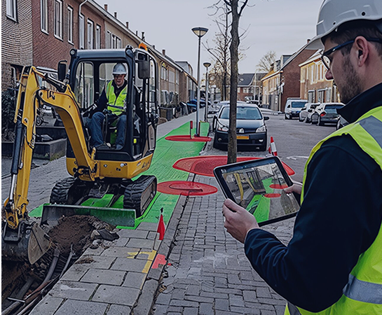
Mobile mapping is used across road asset management, infrastructure inspection, utility network management, urban planning, cadastral surveying, fiber network rollout, public safety and automotive development. Any industry that needs accurate, up-to-date spatial data at scale benefits from mobile mapping.
What sensors does a mobile mapping system use?
Most professional mobile mapping systems combine spherical cameras for 360° imagery, LiDAR sensors for 3D point cloud data, and a GNSS/INS unit for precision positioning. Depending on the application, systems can also include infrared cameras, thermal sensors or additional specialised data capture hardware.
How accurate is mobile mapping data?
Accuracy depends on the positioning system and post-processing method used. With real-time GNSS correction, mobile mapping systems can achieve centimetre-level accuracy suitable for most asset management and inspection applications. For applications requiring maximum precision, post-processing via PPK delivers additional accuracy without requiring extra field time.
What is the Horus Vertex?
Vertex is a compact mobile mapping system built by Horus. It combines high-resolution spherical cameras, LiDAR and precision GNSS/INS positioning into one deployable unit, powered by the Horison framework. Vertex is configurable to different camera resolutions, positioning grades and LiDAR setups depending on the use case.
What is the Horison framework?
Horison is the integration framework developed by Horus that connects sensors, cameras, positioning systems, AI models and data pipelines within a mobile mapping system. It allows new hardware to be integrated faster and enables custom configurations without rebuilding the underlying system architecture.