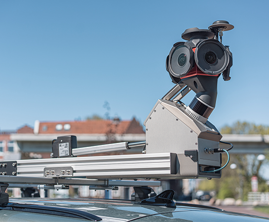
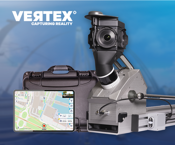
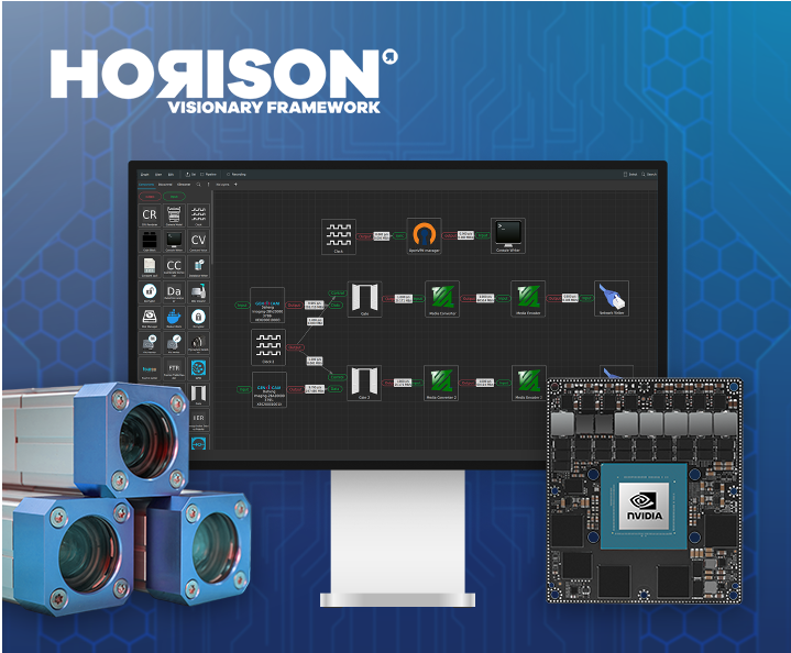
Live at Intergeo Munich, 15–17 Sept: Horison Framework and our newest Vertex Turnkey Mobile Mapping System in action!
 Solutions for every mobile mapping challenge
Explore how Horus technology supports road authorities, public safety teams, infrastructure operators, automotive innovators and defense organisations with accurate, scalable and ready-to-use mapping data.
01
02
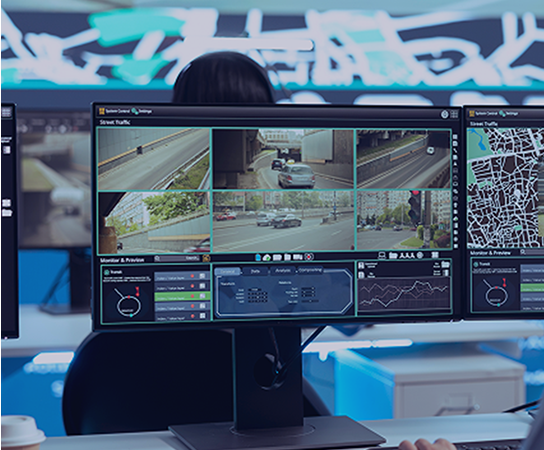
Real-time situational awareness, powered by integrated sensor data.
03
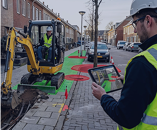
Mobile capture for grid operators, telecom networks and public infrastructure.
04
High-frequency, AI-ready mapping data for automotive and autonomous driving development.
05
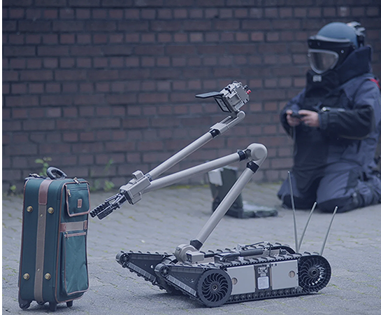
Spatial awareness solutions for complex and time-critical environments.