Knowledgebase
Company
- © 2026 Horus View and Explore B.V. | All rights reserved.
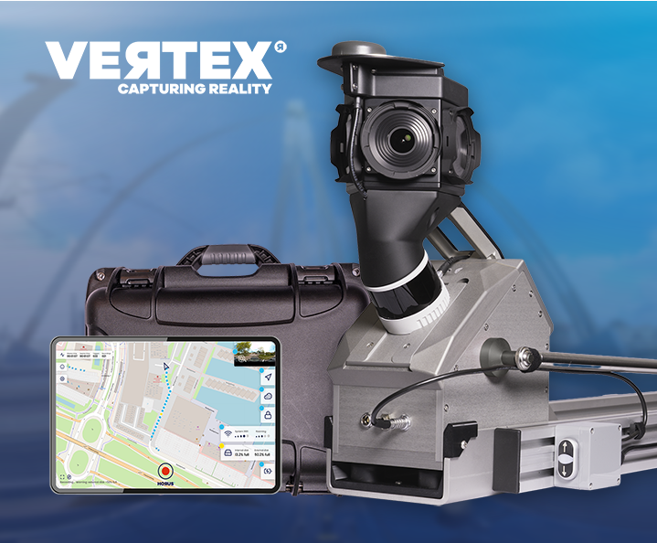
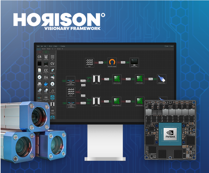
🌎 Live at Intergeo Munich, 15–17 Sept: Horison Framework and our newest Vertex Turnkey Mobile Mapping System in action!
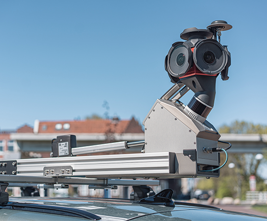
Capture, inspect and manage road assets with mobile mapping.
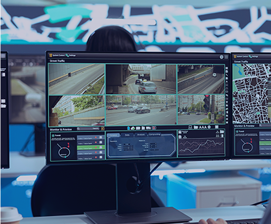
Real-time situational awareness, powered by integrated sensor data.
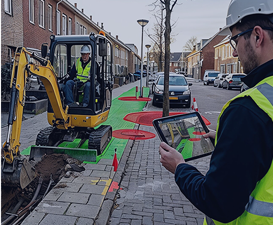
Mobile capture for grid operators, telecom networks and public infrastructure.

High-frequency, AI-ready mapping data for automotive and autonomous driving development.
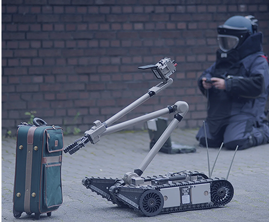
Spatial awareness solutions for complex and time-critical environments.
Capture complete street-level imagery
Generate precise 3D spatial data
Improve location accuracy at every point
Reveal thermal data and heat patterns
Turn raw imagery into usable data
Connect sensors, systems and workflows
Real-time AI, on your hardware
See your mapping data, exactly as captured
View and share street-level imagery online with speed and consistency